Enable Location

We need your location to show you interesting places around you

Discover nearby places

Find interesting locations and hidden gems around you

Precise directions

Get accurate directions and distances to places

Your location is never shared with other users. It's only used when you tap the location button.

Gmina Fabianki

Log in to your account

Start exploring — it's free

Trusted by 63,531 travelers worldwide

Continue with Google
Continue with Apple
or

We will send you a code to connect

By continuing, you accept our Terms and Conditions and our Privacy Policy

Check your inbox

We've sent a pincode in your inbox. Please enter the code below.

Discussion Reviews 1 Photos
3.8k Popularity

Gmina Fabianki, Rural municipality in Włocławek County, Poland

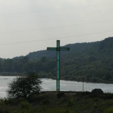
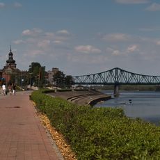
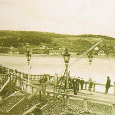
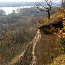
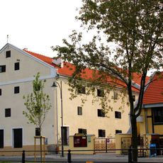
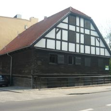
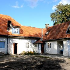
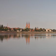
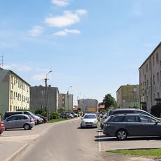
Gmina Fabianki is a rural municipality comprising sixteen villages in Włocławek County near the Vistula River. The landscape consists mainly of agricultural fields and mixed forests that line the right bank of the river.

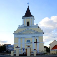
The region took its current form through administrative restructuring in Poland and developed around the central settlement of Fabianki. The river location shaped how the area grew and how people settled there over time.

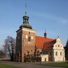
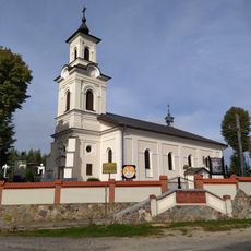
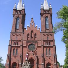
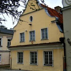
The municipality reflects rural traditions that are visible in the agricultural cycle and village life. Community gatherings and local events happen regularly, shaping how people connect with each other and their surroundings.

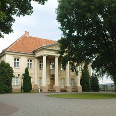
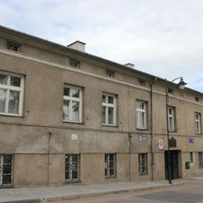
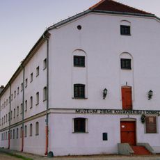
Visitors can best explore the area by car, as the villages are connected by country roads. The local administrative office at the center can provide information and answer questions about the region.

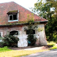
The municipality is home to several small workshops and craft businesses that keep traditional techniques alive. These workplaces are often overlooked but play an important role in local economic life.

The community of curious travelers

AroundUs brings together thousands of curated places, local tips, and hidden gems, enriched daily by 60,000 contributors worldwide.

Start exploring
Shares border with
Gmina Bobrowniki, Gmina Dobrzyń nad Wisłą, Gmina Lipno, Gmina Wielgie, Włocławek
GPS coordinates
52.71583,19.10639
Latest update
December 11, 2025 18:08
Around this place
Krzyż Pomnik ks. Jerzego Popiełuszki we Włocławku
Poland

Krzyż Pomnik ks. Jerzego Popiełuszki we Włocławku

6.4 km
Marshal Józef Piłsudski Boulevards in Włocławek
Poland

Marshal Józef Piłsudski Boulevards in Włocławek

6.5 km
Saint John the Baptist church in Włocławek
Poland

Saint John the Baptist church in Włocławek

6.5 km
Bishops Palace in Włocławek
Poland

Bishops Palace in Włocławek

6.5 km
Most łyżwowy we Włocławku
Poland

Most łyżwowy we Włocławku

6.2 km
Rezerwat przyrody Kulin
Poland

Rezerwat przyrody Kulin

5.4 km
Monument to the Fallen of the Polish-Soviet War in Włocławek
Poland

Monument to the Fallen of the Polish-Soviet War in Włocławek

5.2 km
Diocesan Museum in Włocławek
Poland

Diocesan Museum in Włocławek

6.6 km
Muzeum Historii Włocławka
Poland

Muzeum Historii Włocławka

6.6 km
Ethnographic Museum in Włocławek
Poland

Ethnographic Museum in Włocławek

6.6 km
Zbiory Sztuki we Włocławku
Poland

Zbiory Sztuki we Włocławku

6.5 km
Kościół Nawiedzenia NMP w Zadusznikach
Poland

Kościół Nawiedzenia NMP w Zadusznikach

6.1 km
Kościół św. Jakuba w Chełmicy Dużej
Poland

Kościół św. Jakuba w Chełmicy Dużej

2.1 km
Saint Joseph church in Szpetal Górny
Poland

Saint Joseph church in Szpetal Górny

3.7 km
Muzeum Etnograficzne
Poland

Muzeum Etnograficzne

6.6 km
Saint James church in Chełmica Duża
Poland

Saint James church in Chełmica Duża

2.1 km
Granary in Włocławek, built between 1839 and 1844
Poland

Granary in Włocławek, built between 1839 and 1844

6.5 km
Granary in Włocławek, built about 1900
Poland

Granary in Włocławek, built about 1900

6.5 km
The Black Granary in Włocławek
Poland

The Black Granary in Włocławek

6.6 km
15 Old Market Square in Włocławek
Poland

15 Old Market Square in Włocławek

6.6 km
Kostnica w Szpetalu Górnym
Poland

Kostnica w Szpetalu Górnym

3.7 km
Zespół kościoła św. Józefa
Poland

Zespół kościoła św. Józefa

3.7 km
Oficyna (wozownia)
Poland

Oficyna (wozownia)

2.4 km
17th century canons' house in Włocławek
Poland

17th century canons' house in Włocławek

6.6 km
Dzielnica Starego Miasta w granicach: ulica Królewiecka, Bulwary im. Marszałka J. Piłsudskiego, rzeka Zgłowiączka, ulica Słowackiego, ulica Mickiewicza, Plac Wolności
Poland

Dzielnica Starego Miasta w granicach: ulica Królewiecka, Bulwary im. Marszałka J. Piłsudskiego, rzeka Zgłowiączka, ulica Słowackiego, ulica Mickiewicza, Plac Wolności

6.6 km
Oficyna (stajnia)
Poland

Oficyna (stajnia)

2.3 km
Ogrodnik estate in Nasiegniewo
Poland

Ogrodnik estate in Nasiegniewo

5.7 km
Granary in Włocławek, built in 1842
Poland

Granary in Włocławek, built in 1842

6.6 km
Show the full map
Reviews
Share your experience

No review yet

Discussions
Start a discussion...

No discussion yet

« Gmina Fabianki - Rural municipality in Włocławek County, Poland » is provided by Around Us (aroundus.com). Images and texts are derived from Wikimedia project under a Creative Commons license. You are allowed to copy, distribute, and modify copies of this page, under the conditions set by the license, as long as this note is clearly visible.

Discover hidden gems everywhere you go!

From secret cafés to breathtaking viewpoints, skip the crowded tourist spots and find places that match your style. Our app makes it easy with voice search, smart filtering, route optimization, and insider tips from travelers worldwide. Download now for the complete mobile experience.

Around Us App Screenshot

A unique approach to discovering new places

Le Figaro

All the places worth exploring

France Info

A tailor-made excursion in just a few clicks

20 Minutes

Around Us
Travel Guide & Maps
Download

Send to your phone

QR Code
1

Open the camera app on your mobile.

2

Point at the QR code with your camera. A notification will appear.

3

Tap the notification to open the link.