Gmina Kałuszyn, Urban-rural municipality in Mińsk County, Poland.
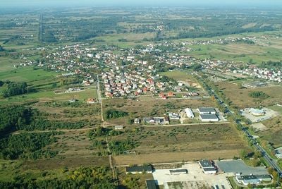
Gmina Kałuszyn is a municipality in eastern Poland, about 56 kilometers east of Warsaw, combining farmland, forests, and roughly thirty small settlements together. The area is home to about 6,000 people living in a mix of urban and rural settings.
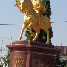
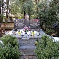
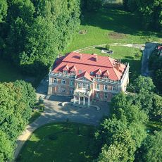
The town received city rights in 1718 from King Augustus II the Strong, becoming a center for noble families like the Opackis and Zamoyskis. During the uprising from 1830 to 1831, the area experienced armed clashes between Polish insurgents and Russian troops.
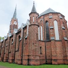
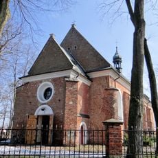
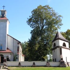
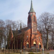
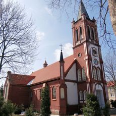
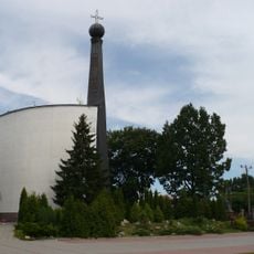
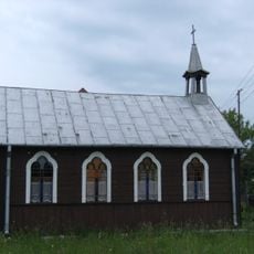
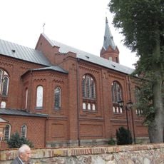
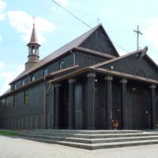
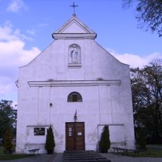
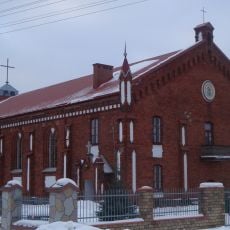
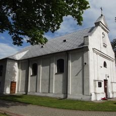
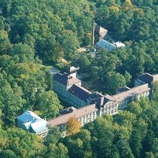
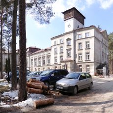
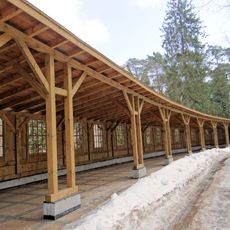
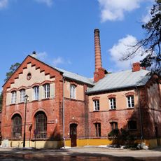
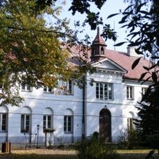
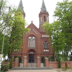
The area keeps traditional Polish village architecture with churches and old farmhouses that shape rural life. These buildings show how people have lived here across generations.
The area is easy to reach by car or public transport from Warsaw and works well for visitors wanting to explore rural Poland. It makes sense to take time for exploration since settlements are scattered and walks through the countryside are rewarding.
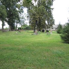
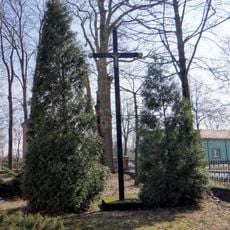
The area played an important role in Polish resistance and was the scene of several clashes between locals and Russian occupiers. These events left deep marks in local history and memory.
Location: Mińsk County
GPS coordinates: 52.20833,21.81167
Latest update: December 12, 2025 16:40
Golden Uhlan
330 m
Church of the Assumption in Kałuszyn
117 m
Saint John the Baptist church in Cegłów
8.5 km
Saint Martin and Saint Nicholas church in Kuflew
11.7 km
Kościół św. Anny w Jakubowie
8.8 km
Mariavite church in Cegłów
8.6 km
Saint Thérèse of Lisieux church in Mrozy
4.7 km
Mariavite chapel in Jędrzejów Nowy
6.8 km
Saint Bartholomew church in Grębków
9.7 km
Saint Alexius church in Oleksin
10.6 km
Kościół Świętych Apostołów Piotra i Pawła w Wierzbnie
11.7 km
Holy Trinity Mariavite church in Wiśniew
8.2 km
Old cemetery in Grębków
9.7 km
Courtyard of the Saint John the Baptist church in Cegłów
8.5 km
Saints Peter and Paul church in Wierzbno
11.7 km
Zespół sanatorium przeciwgruźliczego
6.1 km
Courtyard of the Mariavite church in Cegłów
8.6 km
Saint Anne church in Jakubów
8.8 km
Sanatorium in Rudka
6.2 km
Zespół pałacowy, ob. Technikum Rolnicze
11.2 km
Szpital (z kaplicą)
10.4 km
Pałac, ob. Technikum Rolnicze
11.2 km
Leżalnia in Sanatorium in Rudka
6.2 km
Kotłownia in Sanatorium in Rudka
6.1 km
Historic water intake in Sanatorium in Rudka
6.1 km
Belfry of the Saint John the Baptist church in Cegłów
8.5 km
Zespół szpitalny
10.4 km
Zespół kościoła św. Bartłomieja
9.7 kmVisited this place? Tap the stars to rate it and share your experience / photos with the community! Try now! You can cancel it anytime.
Discover hidden gems everywhere you go!
From secret cafés to breathtaking viewpoints, skip the crowded tourist spots and find places that match your style. Our app makes it easy with voice search, smart filtering, route optimization, and insider tips from travelers worldwide. Download now for the complete mobile experience.
A unique approach to discovering new places❞
— Le Figaro
All the places worth exploring❞
— France Info
A tailor-made excursion in just a few clicks❞
— 20 Minutes