Mińsk County, Administrative district in Masovian Voivodeship, Poland.
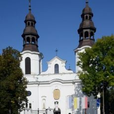
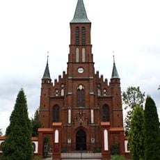
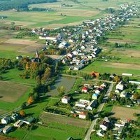
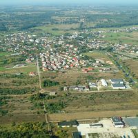
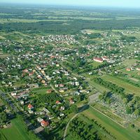
Mińsk County is an administrative district in Masovian Voivodeship located east of Warsaw, encompassing urban and rural municipalities. The area contains a mix of towns and countryside settlements that serve as home to thousands of residents.
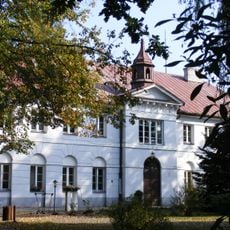
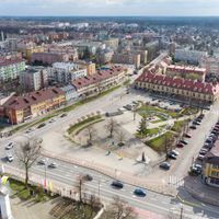
The county was established in 1866 during administrative reforms, with Mińsk Mazowiecki designated as its administrative center. The city itself had received town rights centuries earlier, in 1421, from Duke Janusz I.
The Festival of Folklore and Taste displays regional traditions through local cuisine and community gatherings held across different municipalities. Visitors can see how residents keep their culinary roots alive through these regular celebrations.
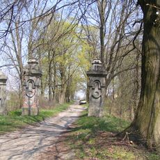
The district is best explored on foot or by local transportation, as different areas are connected by accessible routes. Visitors should note that rural areas have less frequent services compared to urban centers.
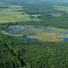
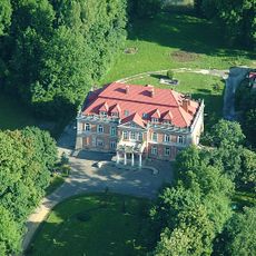
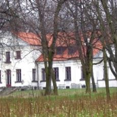
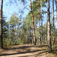
The region is known for its forested areas and farmland that shape daily life in the district. This rural character makes it a quiet retreat away from the city bustle.
Location: Masovian Voivodeship
Capital city: Mińsk Mazowiecki
Shares border with: Garwolin County, Otwock County, Wołomin County, Siedlce County, Węgrów County, Warsaw
Website: http://powiatminski.pl
GPS coordinates: 52.18333,21.56667
Latest update: December 7, 2025 20:21
Pałac Dernałowiczów
329 m
Wszebora
2.1 km
Rezerwat przyrody Bagno Pogorzel
7.4 km
Church of the Nativity of the Virgin Mary in Mińsk Mazowiecki
608 m
Mariavite Church in Mińsk Mazowiecki
765 m
Jewish cemetery in Mińsk Mazowiecki
1.5 km
Kościół Świętych Apostołów Piotra i Pawła w Dębem Wielkim
8.8 km
Muzeum Ziemi Mińskiej
805 m
Saint Anthony of Padua church in Mińsk Mazowiecki
1.3 km
Willa
1.4 km
104 Warszawska Street in Mińsk Mazowiecki
399 m
Szpital (z kaplicą)
8.7 km
Zespół dworski
7.7 km
Dom, ob. WKU
1.2 km
Zespół willi
1.4 km
Former government buildings in Mińsk Mazowiecki
394 m
Ogród
1.4 km
Pałac, ob. Technikum Rolnicze
5.8 km
Zespół poczty
258 m
Poczta
258 m
Zespół domu, ob. WKU
1.2 km
Zespół pałacowy, ob. Technikum Rolnicze
5.8 km
Cegielnia
7.7 km
Dwór
7.7 km
Zespół szpitalny
8.8 km
Ścieżka Przyrodniczo-Leśna Najstarsza sosna w Polsce
2.2 km
Zespół dworski
6.8 km
Warszawska 161
253 mVisited this place? Tap the stars to rate it and share your experience / photos with the community! Try now! You can cancel it anytime.
Discover hidden gems everywhere you go!
From secret cafés to breathtaking viewpoints, skip the crowded tourist spots and find places that match your style. Our app makes it easy with voice search, smart filtering, route optimization, and insider tips from travelers worldwide. Download now for the complete mobile experience.
A unique approach to discovering new places❞
— Le Figaro
All the places worth exploring❞
— France Info
A tailor-made excursion in just a few clicks❞
— 20 Minutes