Gmina Mińsk Mazowiecki, Rural municipality in Masovian Voivodeship, Poland
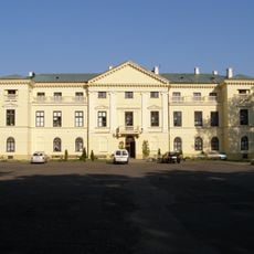
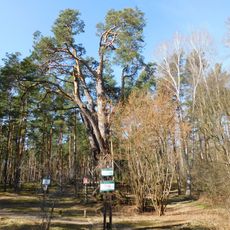
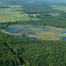
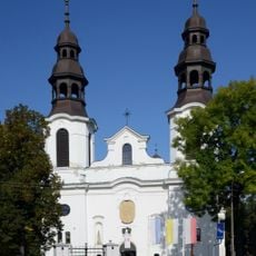
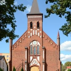
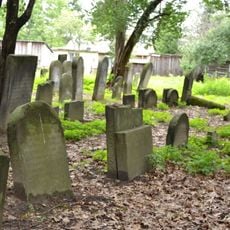
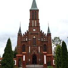
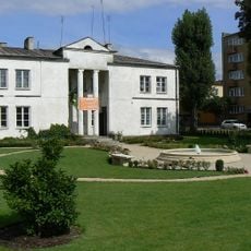
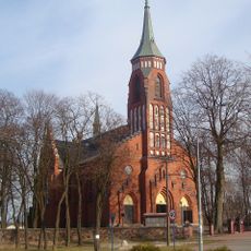
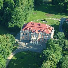
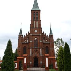
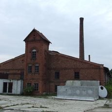
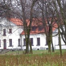
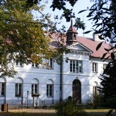
Gmina Mińsk Mazowiecki is a rural municipality in Masovian Voivodeship that spreads across farmland, forests, and several villages within its boundaries. Located east of Warsaw in Mińsk County, it comprises a number of separate administrative units.
The municipality took its current form following administrative reforms in 1999 when it became part of the reorganized Masovian Voivodeship. These changes brought together several administrative units under a unified governance structure.
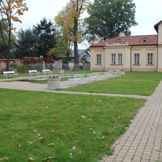
Local communities maintain farming traditions through seasonal events where residents gather for harvest celebrations and demonstrations of traditional rural crafts. These gatherings shape how people in the villages connect with each other and their land.
The municipality has several primary schools and regular bus connections to nearby towns and Warsaw. Visitors should note that services and facilities are spread across multiple villages, so travel between locations takes time.
The municipality comprises thirteen separate administrative units that form a network of interconnected rural settlements. This structure means each settlement maintains its own local governance while being part of a larger whole.
Location: Mińsk County
Website: https://minskmazowiecki.pl
GPS coordinates: 52.18333,21.56667
Latest update: December 11, 2025 11:01
Pałac Dernałowiczów
329 m
Wszebora
2.1 km
Rezerwat przyrody Bagno Pogorzel
7.4 km
Church of the Nativity of the Virgin Mary in Mińsk Mazowiecki
608 m
Mariavite Church in Mińsk Mazowiecki
765 m
Jewish cemetery in Mińsk Mazowiecki
1.5 km
Kościół Świętych Apostołów Piotra i Pawła w Dębem Wielkim
8.8 km
Muzeum Ziemi Mińskiej
805 m
Kościół św. Anny w Jakubowie
8.9 km
Saint Anthony of Padua church in Mińsk Mazowiecki
1.3 km
Willa
1.4 km
104 Warszawska Street in Mińsk Mazowiecki
399 m
Szpital (z kaplicą)
8.7 km
Poczta
258 m
Zespół willi
1.4 km
Zespół domu, ob. WKU
1.2 km
Ogród
1.4 km
Former government buildings in Mińsk Mazowiecki
394 m
Zespół poczty
258 m
Dom, ob. WKU
1.2 km
Pałac, ob. Technikum Rolnicze
5.8 km
Zespół pałacowy, ob. Technikum Rolnicze
5.8 km
Saints Peter and Paul church in Dębe Wielkie
8.8 km
Cegielnia
7.7 km
Zespół dworski
7.7 km
Dwór
7.7 km
Zespół szpitalny
8.8 km
Ścieżka Przyrodniczo-Leśna Najstarsza sosna w Polsce
2.2 kmVisited this place? Tap the stars to rate it and share your experience / photos with the community! Try now! You can cancel it anytime.
Discover hidden gems everywhere you go!
From secret cafés to breathtaking viewpoints, skip the crowded tourist spots and find places that match your style. Our app makes it easy with voice search, smart filtering, route optimization, and insider tips from travelers worldwide. Download now for the complete mobile experience.
A unique approach to discovering new places❞
— Le Figaro
All the places worth exploring❞
— France Info
A tailor-made excursion in just a few clicks❞
— 20 Minutes