Masovian Voivodeship
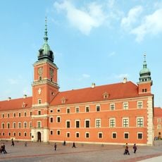
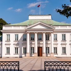
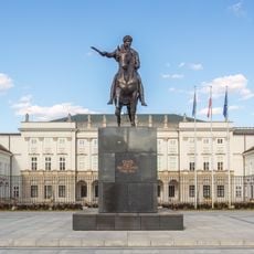
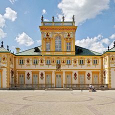
Masovian Voivodeship, Administrative region in central Poland
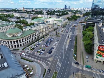
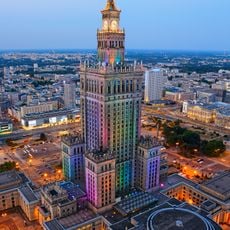
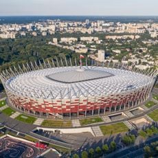
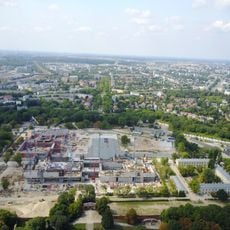
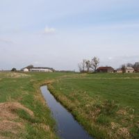
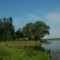
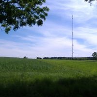
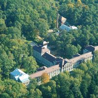
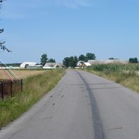
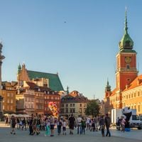
Masovian Voivodeship is an administrative division in the east-central part of the country, covering roughly 35,600 square kilometers (13,700 square miles) and containing the national capital Warsaw. This administrative region is divided into 42 districts and numerous municipalities, encompassing forests, rivers, and agricultural plains.
This administrative unit was formed in 1999 during a major reform that merged several smaller provinces together. The reorganization fundamentally changed the territorial structure and created one of the largest regions in contemporary Poland.
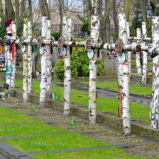
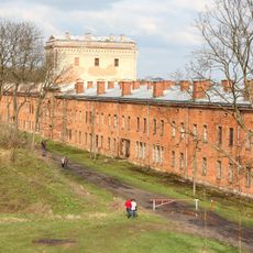
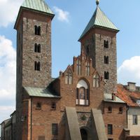
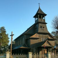
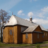
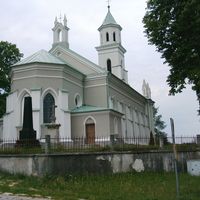
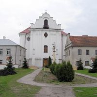
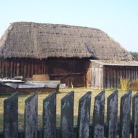
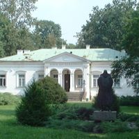
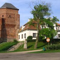
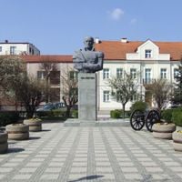
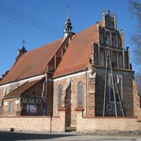
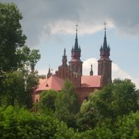
The name of this administrative unit comes from the historical region of Masovia, which developed its own identity over many centuries. Visitors traveling through smaller towns in this area can see regional festivals where local customs and traditional crafts from eastern territories are displayed and celebrated.
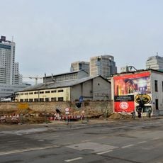
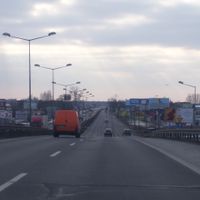
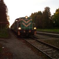
Travelers can cross this territory using trains and highways that link all major towns together. Most transport hubs are located around the capital, from where connections run in all directions.
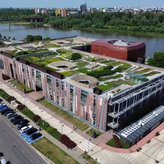
This region contributes nearly 23 percent of the entire country's economic output, making it the most productive of all administrative units. The high share is explained by the concentration of industry, commerce, and services in the area around the capital.
Location: Poland
Inception: January 1, 1999
Capital city: Warsaw
Reference: MA
Shares border with: Kuyavian-Pomeranian Voivodeship, Warmian-Masurian Voivodeship, Podlaskie Voivodeship, Lublin Voivodeship, Świętokrzyskie Voivodeship, Łódź Voivodeship
Website: http://mazovia.pl
GPS coordinates: 52.24278,21.00167
Latest update: December 15, 2025 09:46
Palace of Culture and Science
1.3 km
Kazimierz Górski National Stadium
3 km
Łazienki Park
4 km
Royal Castle in Warsaw
1 km
Warsaw Zoo
2.2 km
Osowiec Fortress
175.5 km
Biebrza National Park
176.1 km
Belweder
3.8 km
Kampinos National Park
30.7 km
Powązki Cemetery
2.2 km
Tomb of the Unknown Soldier, Warsaw
688 m
Presidential Palace
966 m
Warsaw Old Town
1.1 km
Temple of Divine Providence
10.5 km
Wilanów Palace
10.5 km
Warsaw Spire
1.6 km
Powązki Military Cemetery
3.7 km
Warsaw Uprising Museum
1.8 km
Copernicus Science Centre
1.8 km
National Council of the Judiciary
4 km
National Museum in Warsaw
2 km
Warsaw Citadel
2.5 km
Zegrze Reservoir
23.3 km
Modlin Fortress
30.8 km
Sigismund's Column
946 m
St. John's Archcathedral
1.1 km
Norblin Factory in Warsaw
1.4 km
Złota 44
1.3 kmVisited this place? Tap the stars to rate it and share your experience / photos with the community! Try now! You can cancel it anytime.
Płock
Pruszków County
Płońsk County
Przysucha County
Przasnysz County
Radom County
Pułtusk County
Sierpc County
Siedlce County
Sokołów County
Sochaczew County
Lipsko County
Legionowo County
Garwolin County
Ciechanów County
Białobrzegi County
Kozienice County
Grójec County
Grodzisk Mazowiecki County
Gostynin County
Siedlce
Zwoleń County
Żuromin County
Wołomin County
Wyszków County
Warsaw West County
Węgrów County
Szydłowiec County
Ostrołęka
Żyrardów County
Powiat piaseczyński
Płock County
Radom
Łosice County
Maków County
Mińsk County
Mława County
Nowy Dwór Mazowiecki County
Ostrołęka County
Ostrów Mazowiecka County
Otwock County
Warsaw
Discover hidden gems everywhere you go!
From secret cafés to breathtaking viewpoints, skip the crowded tourist spots and find places that match your style. Our app makes it easy with voice search, smart filtering, route optimization, and insider tips from travelers worldwide. Download now for the complete mobile experience.
A unique approach to discovering new places❞
— Le Figaro
All the places worth exploring❞
— France Info
A tailor-made excursion in just a few clicks❞
— 20 Minutes