Mława County, Administrative county in Masovian Voivodeship, Poland.
Mława County is an administrative division in the Masovian Voivodeship in east-central Poland. The territory includes an urban center and surrounding rural municipalities with distinct local structures.
This county was created in 1999 following Poland's comprehensive reorganization of its administrative system after political changes. The reform reshaped how local governance operates across the region.
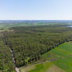
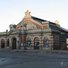
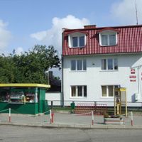
The region preserves traditional farming practices and local customs visible at community markets and seasonal celebrations. You can observe how people here maintain connections to the land and share products from their farms.
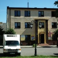
Mława, the main urban center, sits roughly 110 kilometers northwest of Warsaw with transportation links and government services. Visitors can use the city as a base for exploring the rural areas that surround it.
The area displays an interesting pattern of population distribution between the urban core and surrounding rural villages. This balance shapes the character and rhythms of life throughout the region.
Location: Masovian Voivodeship
Capital city: Mława
Shares border with: Przasnysz County, Ciechanów County, Płońsk County, Żuromin County, Działdowo County, Nidzica County
Website: http://powiatmlawski.pl
GPS coordinates: 53.11667,20.36667
Latest update: December 10, 2025 16:04
Holy Trinity church in Mława
1.2 km
Dekanat mławski
1.1 km
Mława-Wólka
2.1 km
Mława Town Hall
1.2 km
Lelewelówka
1.6 km
Saint Lawrence church in Mława
1.7 km
Muzeum Ziemi Zawkrzeńskiej w Mławie
1.1 km
City park in Mława
862 m
New Jewish Cemetery in Mława
2.6 km
Rezerwat przyrody Olszyny Rumockie
10.5 km
Saint Mary Magdalene church in Szydłowo
6.7 km
Station Mława Miasto Wąskotorowa
2.3 km
Więzienie, ob. archiwum
1.3 km
Szkoła
652 m
Budynek bankowo-mieszkalny
640 m
7 1 Maja Square in Mława
1.4 km
Dwór w Szydłówku w Szydłówku
5.3 km
Zespół d. Urzędu Finansowego
929 m
Budynek główny
932 m
Zespół banku, 1937-1938
668 m
6 Old Market Square in Mława
1.3 km
Kaplica ewangelicka (z pastorówką), ob. budynek mieszkalny
7.5 km
Jatki, ob. hala targowa
921 m
Żwirki 11
985 m
Żeromskiego 4
993 m
Zespół stacji kolei wąskotorowej
2 km
Żeromskiego 5
926 m
Zespół dworski
5.3 kmVisited this place? Tap the stars to rate it and share your experience / photos with the community! Try now! You can cancel it anytime.
Discover hidden gems everywhere you go!
From secret cafés to breathtaking viewpoints, skip the crowded tourist spots and find places that match your style. Our app makes it easy with voice search, smart filtering, route optimization, and insider tips from travelers worldwide. Download now for the complete mobile experience.
A unique approach to discovering new places❞
— Le Figaro
All the places worth exploring❞
— France Info
A tailor-made excursion in just a few clicks❞
— 20 Minutes