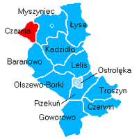
Ostrołęka County, Administrative district in Masovian Voivodeship, Poland
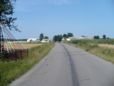
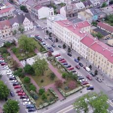
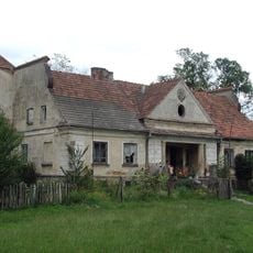
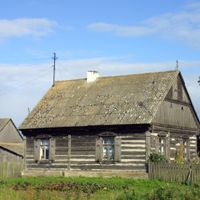
Ostrołęka County is an administrative district in the Masovian Voivodeship that covers flat terrain in eastern Poland. It contains one town, numerous villages, and rural municipalities with a total population of about 89,000 people.
The county was created in 1999 as part of a major Polish administrative reform aimed at decentralizing government operations. This restructuring established the modern administrative boundaries that exist today.
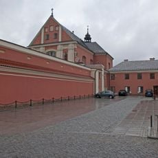
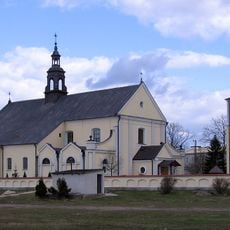
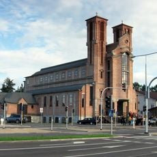
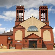
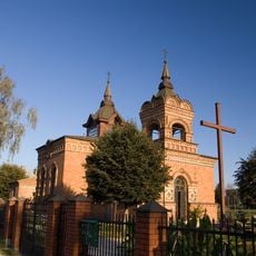
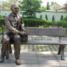
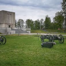
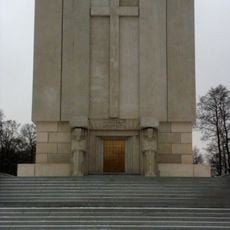
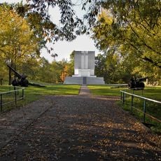
The region preserves Kurpie traditions that you can observe during local festivals and in craft workshops throughout the area. This historical ethnic group has maintained its customs, music, and handcraft techniques across generations.
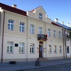
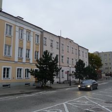
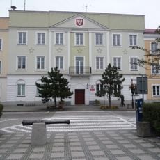
The administrative center is located in the city of Ostrołęka, which maintains separate administrative boundaries and is not part of the county itself. For practical matters and public services, contact the local municipal offices in the various village areas.
An interesting administrative quirk is that the city of Ostrołęka, despite being the county's administrative seat, does not legally belong to it. This spatial separation between the administrative capital and the actual county territory is quite unusual.
Location: Masovian Voivodeship
Capital city: Ostrołęka
Shares border with: Ostrów Mazowiecka County, Wyszków County, Maków County, Przasnysz County, Szczytno County, Pisz County, Kolno County, Łomża County
Website: http://powiat.ostroleka.pl
GPS coordinates: 53.06667,21.56667
Latest update: December 10, 2025 15:55
St. Anthony's Church, Ostrołęka
2.1 km
Church of the Visitation in Ostrołęka
2.2 km
Mauzoleum bitwy pod Ostrołęką
2.3 km
Church of Saint Francis of Assisi in Ostrołęka
2 km
Church of Christ the Redeemer in Ostrołęka
1 km
Church of Saint Adalbert of Prague in Ostrołęka
5.3 km
Madaliński Bridge in Ostrołęka
2.1 km
Muzeum Kultury Kurpiowskiej
2 km
Kościół Najświętszego Serca Pana Jezusa w Rzekuniu
4.4 km
Ławeczka Józefa Psarskiego w Ostrołęce
2.1 km
Ostrołęka Town Hall
2 km
Muzeum Żołnierzy Wyklętych w Ostrołęce
2.7 km
Culture Museum Kurpiowska
2 km
Pomnik Mauzoleum żołnierzy poległych w bitwie pod Ostrołęką 26 maja 1831 roku
2.4 km
Pomnik-mauzoleum w Ostrołęce
2.4 km
Zespół klasztorny bernardynów, gen. Ludwika Bogusławskiego 20 w Ostrołęce
2.1 km
Sacred Heart church in Rzekuń
4.4 km
Zespół urbanistyczny Starego Miasta (w granicach: rz. Narew - ul. Bogusławskiego - Kopernika, zespół kościelny - ul. Batorego - Pstrowskiego)
2 km
Zespół fortyfikacji ziemnych Fortu Bema
2.4 km
Budynek koszarowy
5.1 km
Zespół dworski
7.1 km
Manor in Stary Susk
7.1 km
Dom, XIX/XX (rekonstrukcja)
1.8 km
Pl. Gen. Bema 8
2 km
Pl. Gen. Bema 4
1.9 km
Budynek starostwa
1.9 km
Budynek koszarowy, al. Wojska Polskiego 28 w Ostrołęce
4.8 km
Fortyfikacje ziemne
2.4 kmVisited this place? Tap the stars to rate it and share your experience / photos with the community! Try now! You can cancel it anytime.
Discover hidden gems everywhere you go!
From secret cafés to breathtaking viewpoints, skip the crowded tourist spots and find places that match your style. Our app makes it easy with voice search, smart filtering, route optimization, and insider tips from travelers worldwide. Download now for the complete mobile experience.
A unique approach to discovering new places❞
— Le Figaro
All the places worth exploring❞
— France Info
A tailor-made excursion in just a few clicks❞
— 20 Minutes