Gmina Baranowo, Administrative district in Ostrołęka County, Poland.
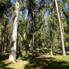
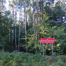
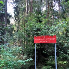
Gmina Baranowo is a rural administrative municipality in the Masovian Voivodeship that brings together several villages and hamlets. The area encompasses farmland and forests that shape the typical landscape of this part of central Poland.
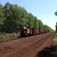
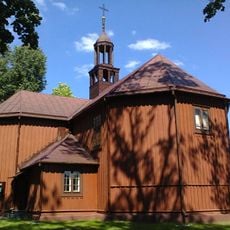
This administrative unit came into being through Poland's territorial reforms and has its seat in the village of Baranowo. The region has long been shaped by agricultural activities and continues this economic focus today.
The district maintains connections with eight neighboring gminas, fostering regional cooperation through shared traditions and local governance practices.
Visiting the administrative seat allows contact with local authorities and access to information about infrastructure projects. The best time to visit is during office hours on weekdays, when staff members are available.
The district experienced population growth from 6,754 to 6,848 between 2006 and 2011, maintaining a density of 35 people per square kilometer.
Location: Ostrołęka County
Elevation above the sea: 113 m
Shares border with: Gmina Chorzele, Gmina Czarnia, Gmina Jednorożec, Gmina Kadzidło, Gmina Krasnosielc, Gmina Lelis, Gmina Myszyniec, Gmina Olszewo-Borki
Website: http://baranowo.pl
GPS coordinates: 53.17500,21.29528
Latest update: December 10, 2025 20:08
Mauzoleum bitwy pod Ostrołęką
20 km
Nature reserve Czarnia
19 km
John Cantius church in Krasnosielc
18.4 km
Cmentarz wojenny w Jednorożcu
17.2 km
Rezerwat przyrody Torfowisko Karaska
9.4 km
Rezerwat przyrody Olsy Płoszyckie
19.1 km
Kościół św. Michała Archanioła w Brodowych Łąkach
10.9 km
Church of the Nativity of the Virgin Mary in Jednorożec
16.8 km
Holy Spirit church in Kadzidło
13 km
Kościół Najświętszego Serca Jezusowego w Olszewce
17.3 km
Church of the Nativity of the Virgin Mary in Baranowo
105 m
Kościół Św. Trójcy w Parciakach
11.8 km
Church in Księży Lasek
7.6 km
Rezerwat przyrody Podgórze
12.2 km
War cemetery in Budy Rządowe
11.3 km
War cemetery in Parciaki
11.5 km
Zamoście
1.7 km
Pomnik Mauzoleum żołnierzy poległych w bitwie pod Ostrołęką 26 maja 1831 roku
20 km
Skansen Kurpiowski w Kadzidle
12.8 km
Pomnik-mauzoleum w Ostrołęce
20 km
Cmentarz rzym.-kat.
18.2 km
Zespół fortyfikacji ziemnych Fortu Bema
20 km
Zespół dworski
10 km
Dwór w Przystaniu
10 km
Plebania
12.7 km
Zespół kościoła Św. Trójcy
11.8 km
Kapliczka przydrożna św. Jana Nepomucena w Krasnosielcu
18.4 km
Fortyfikacje ziemne
19.9 kmVisited this place? Tap the stars to rate it and share your experience / photos with the community! Try now! You can cancel it anytime.
Discover hidden gems everywhere you go!
From secret cafés to breathtaking viewpoints, skip the crowded tourist spots and find places that match your style. Our app makes it easy with voice search, smart filtering, route optimization, and insider tips from travelers worldwide. Download now for the complete mobile experience.
A unique approach to discovering new places❞
— Le Figaro
All the places worth exploring❞
— France Info
A tailor-made excursion in just a few clicks❞
— 20 Minutes