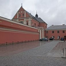
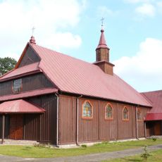
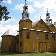
Gmina Lelis, Administrative district in Ostrołęka County, Poland
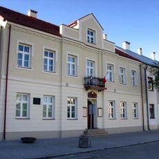
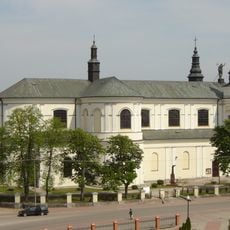
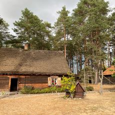
Gmina Lelis is a rural municipality in the Masovian Voivodeship of central Poland, situated north of Warsaw. The administrative area encompasses several small villages and settlements spread across flat agricultural land.
This municipality emerged as part of Poland's administrative system and developed from several historic village communities. The structural organization of individual settlements formed the basis for the current municipal divisions.
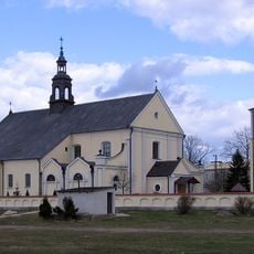
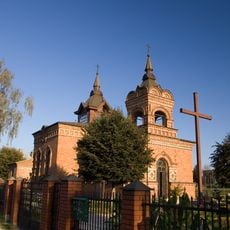
The district encompasses twenty-two distinct villages including Białobiel, Dąbrówka, and Długi Kąt, each contributing to the local community structure.
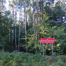
The area is sparsely populated and offers typical rural conditions with open spaces and natural surroundings. Visitors should expect basic roads and limited infrastructure, as this is an intensely agricultural region.
The territory borders six different gminas: Baranowo, Kadzidło, Miastkowo, Olszewo-Borki, Rzekuń and Zbójna, creating an interconnected administrative network.
Location: Ostrołęka County
Capital city: Lelis
Website: http://lelis.ug.gov.pl
GPS coordinates: 53.18111,21.55722
Latest update: December 11, 2025 18:01
St. Anthony's Church, Ostrołęka
10.7 km
Church of the Visitation in Ostrołęka
10.6 km
Mauzoleum bitwy pod Ostrołęką
10.5 km
Church of Saint Adalbert of Prague in Ostrołęka
9.8 km
Madaliński Bridge in Ostrołęka
10.7 km
Muzeum Kultury Kurpiowskiej
10.8 km
Ławeczka Józefa Psarskiego w Ostrołęce
10.6 km
Ostrołęka Town Hall
10.8 km
Rezerwat przyrody Olsy Płoszyckie
3.9 km
Holy Spirit church in Kadzidło
8.6 km
Saint Anne church in Dąbrówka
7.1 km
Wooden church in Czarnia
10.3 km
Muzeum Żołnierzy Wyklętych w Ostrołęce
10.3 km
Culture Museum Kurpiowska
10.8 km
Pomnik Mauzoleum żołnierzy poległych w bitwie pod Ostrołęką 26 maja 1831 roku
10.4 km
Skansen Kurpiowski w Kadzidle
8.1 km
Pomnik-mauzoleum w Ostrołęce
10.4 km
Zespół klasztorny bernardynów, gen. Ludwika Bogusławskiego 20 w Ostrołęce
10.8 km
Zespół urbanistyczny Starego Miasta (w granicach: rz. Narew - ul. Bogusławskiego - Kopernika, zespół kościelny - ul. Batorego - Pstrowskiego)
10.8 km
Zespół fortyfikacji ziemnych Fortu Bema
10.5 km
Dom, XIX/XX (rekonstrukcja)
11 km
Budynek koszarowy
9.8 km
Pl. Gen. Bema 8
10.8 km
Pl. Gen. Bema 4
10.8 km
Budynek starostwa
10.8 km
Budynek koszarowy, al. Wojska Polskiego 28 w Ostrołęce
9.8 km
Zespół kościoła św. Anny
7.1 km
Fortyfikacje ziemne
10.5 kmVisited this place? Tap the stars to rate it and share your experience / photos with the community! Try now! You can cancel it anytime.
Discover hidden gems everywhere you go!
From secret cafés to breathtaking viewpoints, skip the crowded tourist spots and find places that match your style. Our app makes it easy with voice search, smart filtering, route optimization, and insider tips from travelers worldwide. Download now for the complete mobile experience.
A unique approach to discovering new places❞
— Le Figaro
All the places worth exploring❞
— France Info
A tailor-made excursion in just a few clicks❞
— 20 Minutes