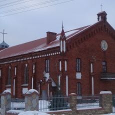
Gmina Dobre, Administrative district in Mińsk County, Poland.
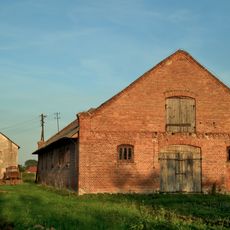
Gmina Dobre is an urban-rural municipality in Masovian Voivodeship that brings together several scattered villages such as Adamów, Antonina, and Brzozowica. The area combines agricultural lands with residential zones and local administrative facilities in the eastern section of Mińsk County.
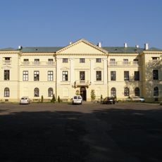
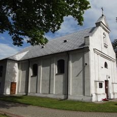
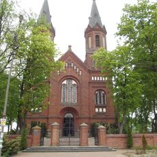
The main settlement of Dobre received municipal rights in 1530 from King Sigismund I, marking an important moment in the region's early development. This royal recognition established the area as a significant local center and influenced its long-term growth.
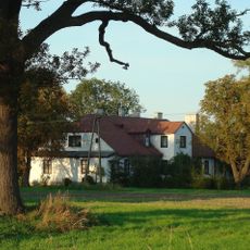
The administrative territory preserves traditional Polish rural patterns with scattered villages, including Adamów, Antonina, Brzozowica, and Czarnocin, maintaining local customs.
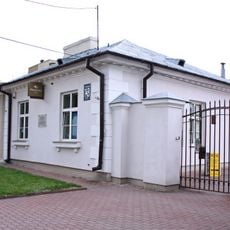
The administrative center can be reached by car or public transport from nearby towns and is situated away from major highways. Visitors arriving should contact local offices in advance to learn about available services and opening hours, since this is a small rural municipality.
The district borders six different gminas - Jakubów, Kałuszyn, Korytnica, Stanisławów, Strachówka, and Wierzbno - creating a complex administrative network.
The community of curious travelers
AroundUs brings together thousands of curated places, local tips, and hidden gems, enriched daily by 60,000 contributors worldwide.