Gmina Siennica, Rural municipality in Mińsk County, Poland
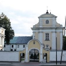
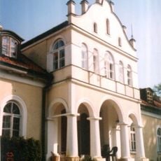
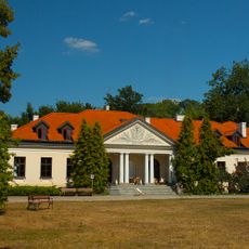
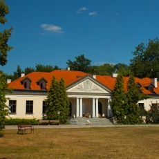
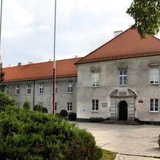
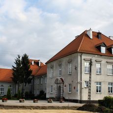
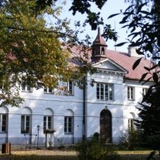
Gmina Siennica is an urban-rural municipality in Mińsk County, Masovian Voivodeship, made up of several small villages and farming settlements scattered across a flat, agricultural landscape. The administrative seat is located in the village of Siennica, which serves as the local government center for the surrounding communities.
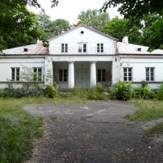
The area that makes up this municipality was farmed for centuries before gradually taking on a formal administrative role in the region. In 1939, a deliberate attack destroyed a large part of the built fabric of Siennica, leaving a deep mark on the community.
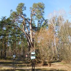
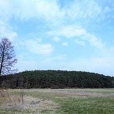
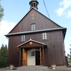
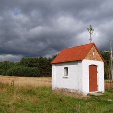
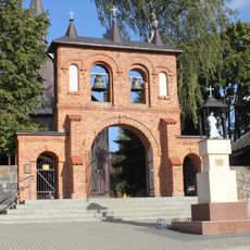
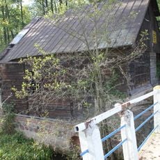
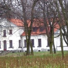
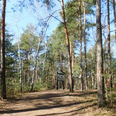
The villages around Siennica still follow the rhythm of farming life, with fields, barns, and small roadside chapels marking the landscape. Wayside crosses and shrines are common sights, reflecting how faith has long shaped daily routines in the area.
The municipality is located within easy driving distance of Warsaw, making it accessible for a day visit from the capital. Because the area is largely rural, it is a good idea to plan ahead and check what local services are available before traveling.
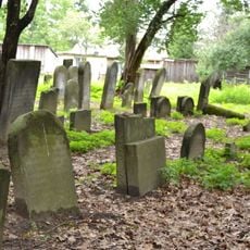
The parish records of Siennica document baptisms, marriages, and births from several different communities over many generations, making them a valuable source for genealogical research. These archives preserve traces of a mixed local population that once shared the same villages and fields.
The community of curious travelers
AroundUs brings together thousands of curated places, local tips, and hidden gems, enriched daily by 60,000 contributors worldwide.