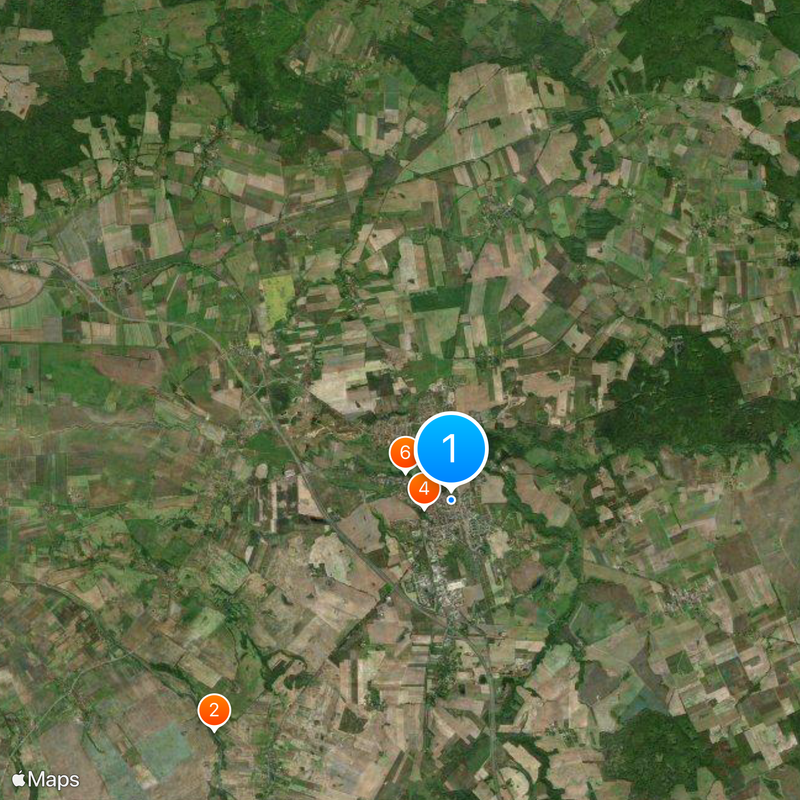
Pasłęk, Medieval town in Warmian-Masurian Voivodeship, Poland
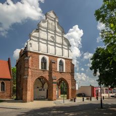
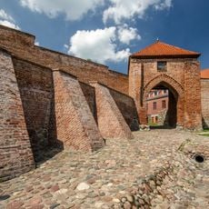
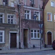
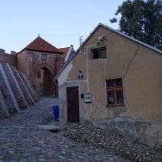
Pasłęk is a medieval town in Warmian-Masurian Voivodeship located east of Elbląg, surrounded by well-preserved town walls. The fortifications include the Stone Gate and Mill Gate, which still stand as part of the defensive ring around the town center.
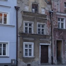
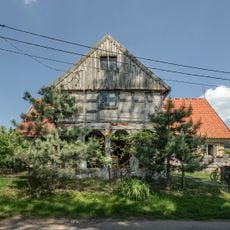
Dutch settlers brought by the Teutonic Order in the late 13th century founded the settlement originally called Hollant or Holland. This founding shaped the town's layout and established its multicultural roots from the start.
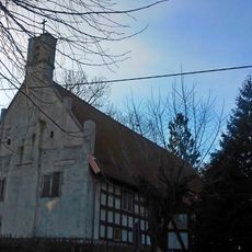
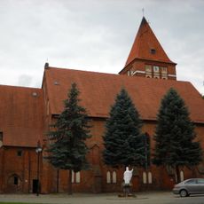
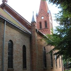
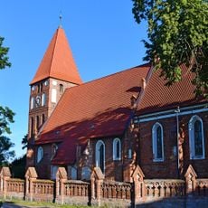
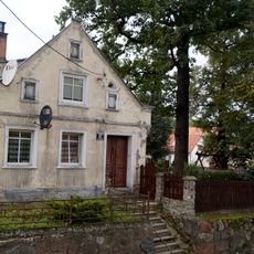
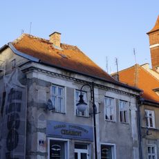
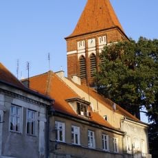
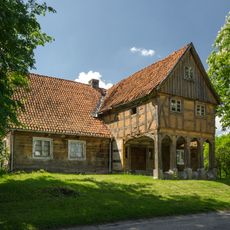
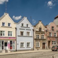
The Gothic town hall and St Bartholomew Church show how different cultures shaped the building styles here over centuries. Walking through the streets, you see how Polish and German traditions left their mark on the town's appearance.
The town connects to major urban centers through the Polish S7 expressway and has a railway station for regional travel. The medieval town center is easy to walk around, with the main structures and gates within a short distance of each other.
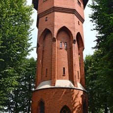
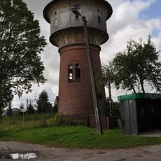
An intact water tower stands within the medieval fortifications as evidence of early municipal engineering practices. This tower shows how settlers solved practical challenges of daily town life with simple technical solutions.
The community of curious travelers
AroundUs brings together thousands of curated places, local tips, and hidden gems, enriched daily by 60,000 contributors worldwide.