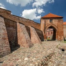
Pasłęk Castle, Teutonic castle in Pasłęk, Poland
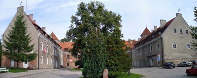
Pasłęk Castle is a medieval Teutonic Order fortress in Pasłęk, northern Poland, built with three wings and two towers set into the old town walls. It sits on a hill above the Wąska River, and part of it has been converted into public offices and an exhibition space.
The Teutonic Knights built the castle in the 14th century on the site of an older Prussian settlement. Over the following centuries it changed hands several times and at one point served as a residence for Swedish kings during their campaigns in the region.
The castle today houses the town hall, a public library, and a community center, drawing local residents in for everyday errands and events. Walking through its halls, you are as likely to meet someone returning books as someone attending a local gathering.
Some parts of the castle are open to visitors, while others are reserved for offices and are not accessible to the public. It is worth checking in advance which areas are open, as availability can vary depending on the day and season.
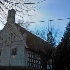
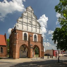
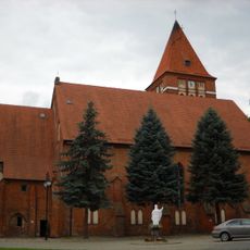
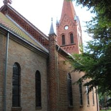
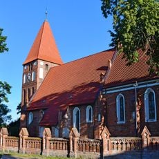
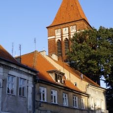
Underground passages are said to connect the castle to the nearby Saint Bartholomew Church, and one of the tunnels is reportedly wide enough for a rider on horseback to pass through. No one has fully confirmed their existence, which makes them one of the more talked-about local mysteries.
The community of curious travelers
AroundUs brings together thousands of curated places, local tips, and hidden gems, enriched daily by 60,000 contributors worldwide.