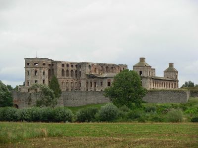
Opatów County, Administrative district in Świętokrzyskie Voivodeship, Poland
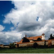
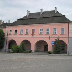
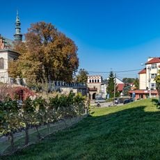
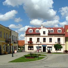
Opatów County is an administrative district in Swietokrzyskie Voivodeship containing eight municipalities spread across roughly 900 square kilometers. The two main towns, Opatów and Ożarów, anchor the region, which consists primarily of farmland and small villages.
This territorial unit was created through administrative reforms in 1998 and began operating on January 1, 1999, as part of a nationwide restructuring. The reorganization reshaped how local governance was organized across the entire country.
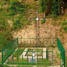
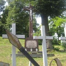
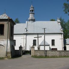
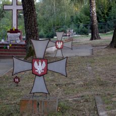
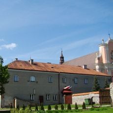
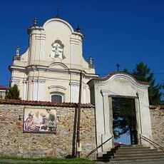
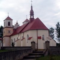
Each municipality in the county runs cultural centers where regional festivals take place and local traditions are kept alive through community events. Visitors can experience how these places mark important dates and celebrate their heritage together.
National route 74 provides the main connection to larger cities in south-central Poland, while regional roads serve local communities within the county. Traveling by car is the most practical way to explore different areas and villages.
Vehicles registered in this county display the TOP code on their license plates, making them instantly recognizable throughout Poland. This system allows anyone to immediately identify where a car originates from.
The community of curious travelers
AroundUs brings together thousands of curated places, local tips, and hidden gems, enriched daily by 60,000 contributors worldwide.