Enable Location

We need your location to show you interesting places around you

Discover nearby places

Find interesting locations and hidden gems around you

Precise directions

Get accurate directions and distances to places

Your location is never shared with other users. It's only used when you tap the location button.

Krakowskie Przedmieście Street

Log in to your account

Start exploring — it's free

Trusted by 62,081 travelers worldwide

Continue with Google
Continue with Apple
or

We will send you a code to connect

By continuing, you accept our Terms and Conditions and our Privacy Policy

Check your inbox

We've sent a pincode in your inbox. Please enter the code below.

Krakowskie Przedmieście Street

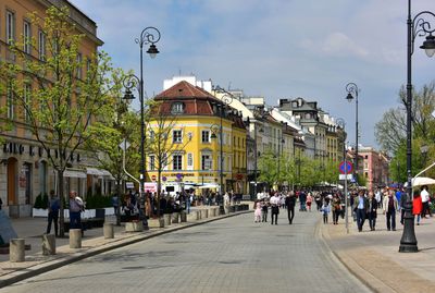
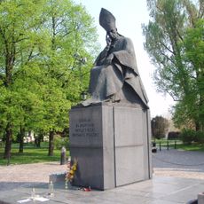
Krakowskie Przedmieście Street, Main historic street in Śródmieście, Warsaw, Poland

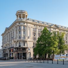
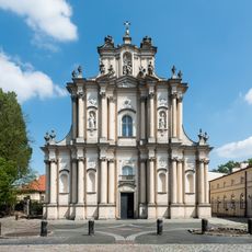
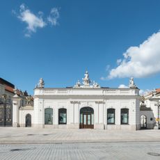
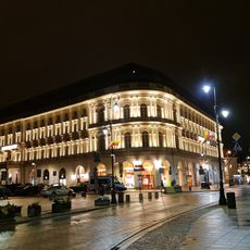
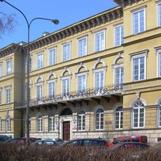
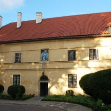
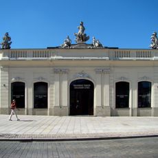
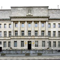
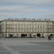
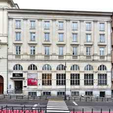
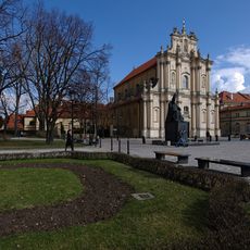
Krakowskie Przedmieście is a main thoroughfare in Śródmieście running from Castle Square to Nowy Świat Street, lined on both sides with palaces, churches, and buildings from the eighteenth and nineteenth centuries. It forms a straight section within the Warsaw Royal Route and connects several public squares together.

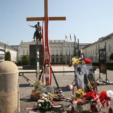
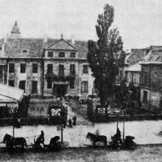
Merchants and travelers used the street from the fifteenth century onward as a trade route toward Krakow, which was then the capital of the kingdom. Polish monarchs later traveled this path from their residence to the coronation cathedral, turning it into a ceremonial route.

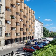
The street takes its name from the direction toward Krakow, pointing to its role as part of a centuries-old link between the two cities. Today it connects government institutions with university facilities and busy cafés that line the sidewalks.

Buses and trams run along the street and stop at several points giving access to the buildings and squares. Walking the full length takes around twenty minutes, with both sides offering sidewalks lined with shops and entrances.

Bernardo Bellotto, an Italian painter, created detailed views of the street in the eighteenth century that served as blueprints for reconstruction after the destruction of World War II. These paintings show the facades, roofs, and proportions so accurately that architects used them to rebuild the structures.

The community of curious travelers

AroundUs brings together thousands of curated places, local tips, and hidden gems, enriched daily by 60,000 contributors worldwide.

Start exploring
Location
Address
Krakowskie Przedmieście
GPS coordinates
52.24167,21.01556
Latest update
December 20, 2025 15:10
Places to visit near Warsaw: castles, museums, parks and historical villages

Around Warsaw, you will find places that tell the story and culture of Poland. These spots are close to the city and can be visited in a day or during short trips. You will see houses where famous people lived, museums filled with interesting collections, forts from the 19th century, and villages...

« Krakowskie Przedmieście Street - Main historic street in Śródmieście, Warsaw, Poland » is provided by Around Us (aroundus.com). Images and texts are derived from Wikimedia project under a Creative Commons license. You are allowed to copy, distribute, and modify copies of this page, under the conditions set by the license, as long as this note is clearly visible.

Discover hidden gems everywhere you go!

From secret cafés to breathtaking viewpoints, skip the crowded tourist spots and find places that match your style. Our app makes it easy with voice search, smart filtering, route optimization, and insider tips from travelers worldwide. Download now for the complete mobile experience.

Around Us App Screenshot

A unique approach to discovering new places

Le Figaro

All the places worth exploring

France Info

A tailor-made excursion in just a few clicks

20 Minutes

Around Us
Travel Guide & Maps
Download

Send to your phone

QR Code
1

Open the camera app on your mobile.

2

Point at the QR code with your camera. A notification will appear.

3

Tap the notification to open the link.