Jawornik Polski, Town in Subcarpathian Voivodeship, Poland
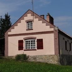
Jawornik Polski is a small town in Subcarpathian Voivodeship located in a landscape of gentle hills. It sits about 26 kilometers (16 miles) southwest of Przeworsk and about 36 kilometers (22 miles) southeast of Rzeszów, the regional capital.
The settlement first appears in written records in 1448, establishing its early presence in the region. This long history shows it has been an established place in Subcarpathia for several centuries.
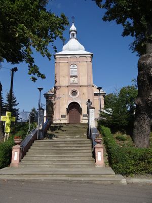
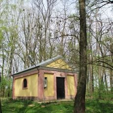
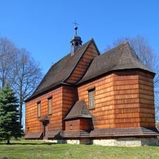
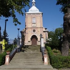
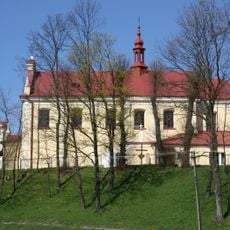
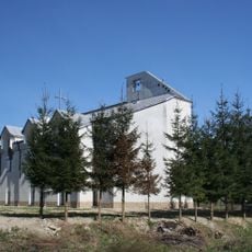
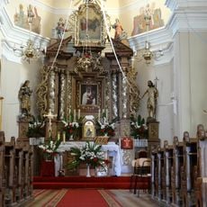
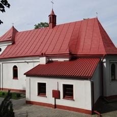
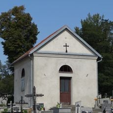
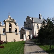
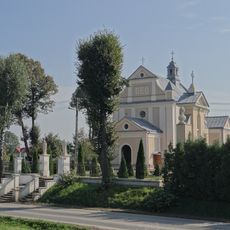
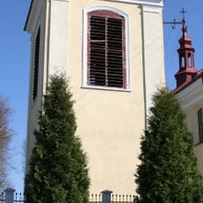
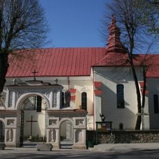
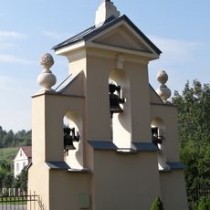
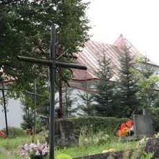
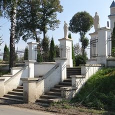
The village church forms the center and mirrors the religious traditions of the residents. It shows how faith plays an important role in the everyday life of the people.
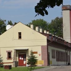
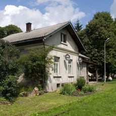
The settlement functions as an administrative center for the local municipality and offers basic services to residents in the surrounding area. Visitors will find the typical facilities of a rural administrative center with local services for daily needs.
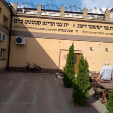
Before World War II, about 155 Jewish residents lived here and shaped the community. This presence shows the diverse past of this rural region in southeastern Poland.
Location: Gmina Jawornik Polski
GPS coordinates: 49.88867,22.28497
Latest update: December 11, 2025 18:10
Szklary Tunnel
2.7 km
Kościół św. Wawrzyńca, Ks. Józefa Ożoga brak w Dynowie
9 km
Manor in Hadle Szklarskie
2.5 km
Stary cmentarz żydowski w Dynowie
9.3 km
Saint Catherine of Alexandria church in Bachórzec
7.6 km
Saint Andrew church in Jawornik Polski
201 m
Kościół św. Mikołaja w Harcie
5.7 km
Kościół Matki Bożej Różańcowej w Harcie
7.6 km
Saint Catherine church in Manasterz
8.3 km
Church of the Immaculate Heart of Mary in Hadle Szklarskie
2.5 km
Zagórze train stop
5.4 km
Centrum Historii Polskich Żydów w Dynowie
9.6 km
Most VI
3.1 km
Nature reserve Broduszurki
9.2 km
Kaplica grobowa rodziny Gurskich (na cmentarzu grzebalnym) w Jaworniku Polskim
258 m
Kościół św. Katarzyny w Manasterzu
8.3 km
Stajnia
2.6 km
Dwór w Hadlach Szklarskich
2.5 km
Plebania w Jaworniku Polskim
165 m
Zespół kościoła św. Katarzyny w Manasterzu
8.3 km
Dzwonnica
5.7 km
Saint Lawrence church in Dynów
9.1 km
Oranżeria
2.5 km
Bachórz station building
6.6 km
Kuźnia
2.6 km
Dzwonnica w Manasterzu
8.3 km
Zespół cerkwi gr.-kat. Przemienienia Pańskiego, ob. kościół rzym.-kat. p…
2.5 km
Ogrodzenie
8.3 kmVisited this place? Tap the stars to rate it and share your experience / photos with the community! Try now! You can cancel it anytime.
Discover hidden gems everywhere you go!
From secret cafés to breathtaking viewpoints, skip the crowded tourist spots and find places that match your style. Our app makes it easy with voice search, smart filtering, route optimization, and insider tips from travelers worldwide. Download now for the complete mobile experience.
A unique approach to discovering new places❞
— Le Figaro
All the places worth exploring❞
— France Info
A tailor-made excursion in just a few clicks❞
— 20 Minutes