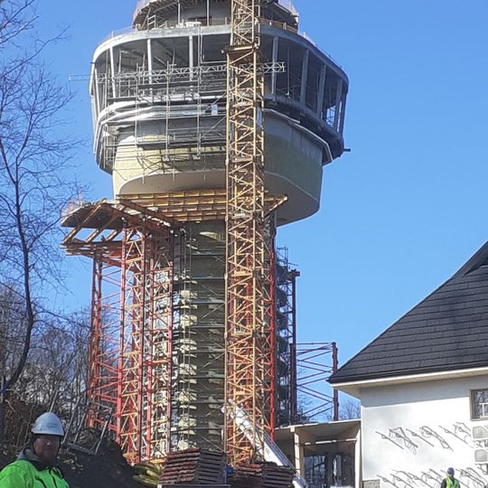
Plasza, Mountain summit in Solina, Poland
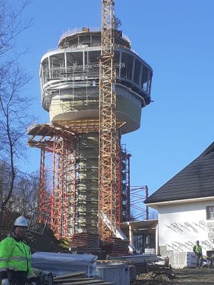
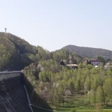
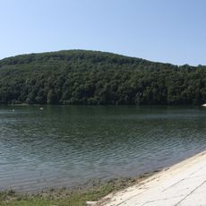
Plasza is a 505 m summit in the Western Bieszczady, standing on the left bank of the Solina Dam, which rests against its rocky shore. Its southern slopes drop steeply to Lake Solińskie below the dam, while the eastern and northern slopes fall toward Lake Myczkowskie behind it. The top is mostly forested; only the north-eastern slopes hold buildings of Solina village, a car park and holiday houses. An asphalt road to the dam and the 895 regional road run along its slopes.
Plasza's rocky southern slope was used as the left-bank abutment of the Solina Dam, built in the 1960s, which impounded Lake Solińskie below the summit. In 2022 the lower station of the PKL Solina gondola lift, running to Jawor mountain, opened on the eastern slope. A former television tower on the summit now serves as a mobile phone relay operated by EmiTel.
The name Plasza comes from the Romanian word ples, meaning treeless terrain, though the summit is now mostly forested. Some maps and descriptions use the variant Płasza, but the Geoportal map marks it as Plasza, the correct form. The north-eastern slopes hold buildings of Solina village, a car park and holiday homes serving visitors.
Marked hiking trails lead up to Plasza, with the main path starting near Solina Dam and providing a direct route to the summit. Wear good hiking shoes and allow time for the climb, especially if you want to spend time enjoying the views at the top.
The name Plasza comes from the Romanian word ples, meaning treeless ground, though the summit is now mostly forested. Some maps and descriptions use the form Płasza, but the Geoportal map labels it Plasza, which the sources give as the correct name.
The community of curious travelers
AroundUs brings together thousands of curated places, local tips, and hidden gems, enriched daily by 94,464 contributors worldwide.