
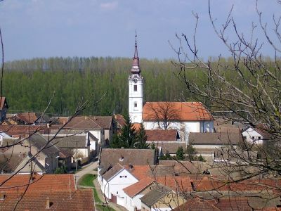
Neštin, human settlement
Location: Bačka Palanka Municipality
Elevation above the sea: 135 m
GPS coordinates: 45.22560,19.45060
Latest update: March 5, 2025 05:05

Kuveždin monastery
11.9 km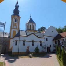
Privina Glava monastery
15.5 km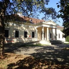
Dunđerski Palace
7.5 km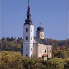
Šišatovac monastery
14 km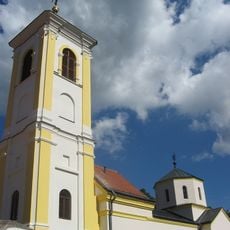
Divša monastery
6.9 km
Petkovica monastery
12.8 km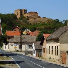
Šarengrad
13.4 km
Ilok Castle
5.9 km
Nature Park Begecka jama
12.2 km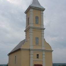
Rimokatolička crkva Sv. Katarine
12.8 km
Мохарач
11 km
Crkva Sv. Jovana Krstitelja
4.9 km
Crkva Sv. Kozme i Damjana
0 m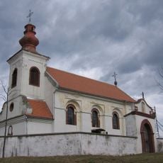
Crkva Sv. Georgija
12.8 km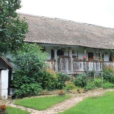
Maison rurale à Ljuba
9.2 km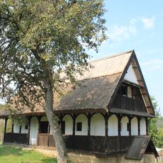
Seoska kuća u Neštinu
2.6 km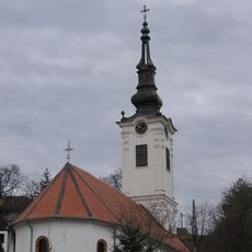
Crkva Sv. Save
16.8 km
Crkva Sv. Georgija
14.8 km
Crkva Sv. Georgija
13.5 km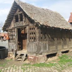
Амбар у Беркасову
16.5 km
Crkva Sv. Nikole
12.6 km
Jewish cemetery in Ilok
5.9 km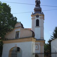
Crkva Sv. Arhangela Gavrila
6.4 km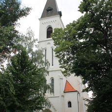
Rimokatolička crkva Sv. Mihajla
12.6 km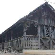
Čardak à Sviloš
12 km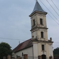
Crkva Sv. Gavrila
11.4 km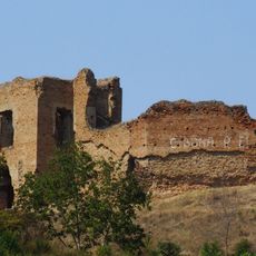
Šarengradska utvrda
13.4 km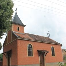
Crkva Sv. Dimitrija
9.1 kmReviews
Visited this place? Tap the stars to rate it and share your experience / photos with the community! Try now! You can cancel it anytime.
Discover hidden gems everywhere you go!
From secret cafés to breathtaking viewpoints, skip the crowded tourist spots and find places that match your style. Our app makes it easy with voice search, smart filtering, route optimization, and insider tips from travelers worldwide. Download now for the complete mobile experience.

A unique approach to discovering new places❞
— Le Figaro
All the places worth exploring❞
— France Info
A tailor-made excursion in just a few clicks❞
— 20 Minutes