Enable Location

We need your location to show you interesting places around you

Discover nearby places

Find interesting locations and hidden gems around you

Precise directions

Get accurate directions and distances to places

Your location is never shared with other users. It's only used when you tap the location button.

Šarengrad

Log in to your account

Start exploring — it's free

Trusted by 61,403 travelers worldwide

Continue with Google
Continue with Apple
or

We will send you a code to connect

By continuing, you accept our Terms and Conditions and our Privacy Policy

Check your inbox

We've sent a pincode in your inbox. Please enter the code below.

Šarengrad

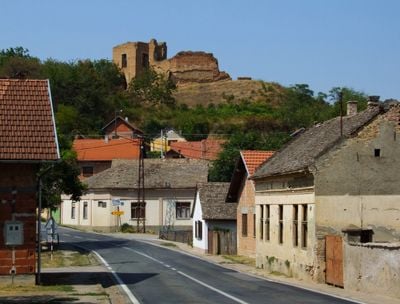
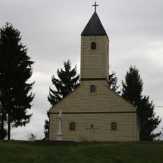
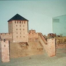
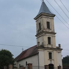
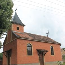
Šarengrad, Riverside settlement in Vukovar-Srijem County, Croatia.

Description

Šarengrad is a settlement on the Danube in Vukovar-Srijem that spreads along the river at the base of the Fruška Gora hills. The location sits at about 92 meters elevation, offering views across the wide water and forested slopes.

History

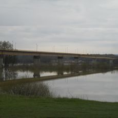
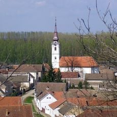
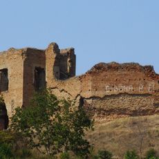
The settlement took its current form after the completion of the Mohovo-Šarengrad canal in 1909, which reshaped the river course. This engineering project fundamentally altered the area's geography and population patterns.

Culture

The community speaks multiple languages, with Croatian, Serbian, and Hungarian heard in daily life. This linguistic mix reflects generations of coexistence and regional interchange that shape how people interact here today.

Practical

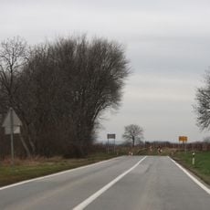
The settlement is best explored on foot, with paths running along the Danube bank and climbing toward the surrounding hills. Visitors should come prepared for changing weather and wear good shoes, as the terrain shifts between flat areas and steeper slopes.

Did you know?

Right beside the settlement lies a large island that was created as a side effect of the early 20th century canal project and now serves as a natural retreat. Many visitors overlook that this island landscape is man-made and the direct result of deliberate water engineering.

Location
Elevation above the sea
92 m
GPS coordinates
45.23306,19.28000
Latest update
December 12, 2025 09:03

AroundUs brings together thousands of curated places, local tips, and hidden gems, enriched daily by 60,000 contributors worldwide. Discover all places nearby (Vukovar-Srijem County).

« Šarengrad - Riverside settlement in Vukovar-Srijem County, Croatia » is provided by Around Us (aroundus.com). Images and texts are derived from Wikimedia project under a Creative Commons license. You are allowed to copy, distribute, and modify copies of this page, under the conditions set by the license, as long as this note is clearly visible.

Discover hidden gems everywhere you go!

From secret cafés to breathtaking viewpoints, skip the crowded tourist spots and find places that match your style. Our app makes it easy with voice search, smart filtering, route optimization, and insider tips from travelers worldwide. Download now for the complete mobile experience.

Around Us App Screenshot

A unique approach to discovering new places

Le Figaro

All the places worth exploring

France Info

A tailor-made excursion in just a few clicks

20 Minutes

Around Us
Travel Guide & Maps
Download

Send to your phone

QR Code
1

Open the camera app on your mobile.

2

Point at the QR code with your camera. A notification will appear.

3

Tap the notification to open the link.