
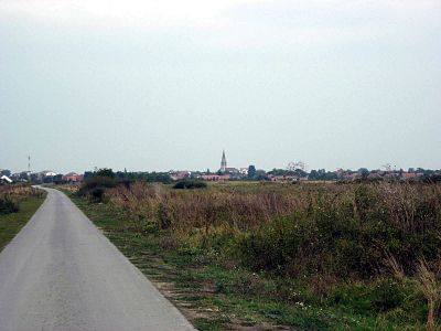
Jaša Tomić, village in Sečanj municipality, Serbia
Location: Sečanj Municipality
Elevation above the sea: 52 m
GPS coordinates: 45.44139,20.85306
Latest update: May 17, 2025 01:20
Bega canal
27 km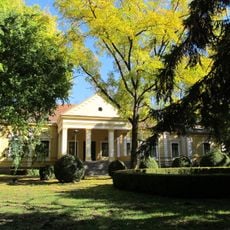
Château Damaskin à Hajdučica
23.3 km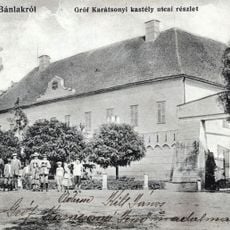
Castelul Banloc
23.1 km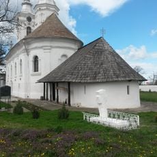
Partoș Monastery
24.3 km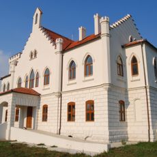
Kapetanovo Castle
19.9 km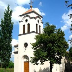
Kirche Hl. Großmärtyrer Georg
30 km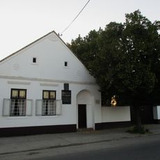
Maison natale de Đura Jakšić
33.8 km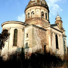
Roman Catholic Church in Bobda, Timiş
33.4 km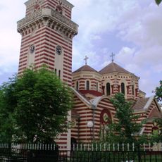
Church of the Presentation of Mary in Orlovat
30.7 km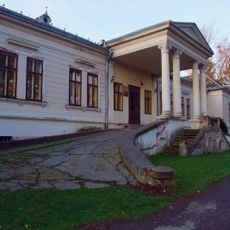
Danijel Castle
15.4 km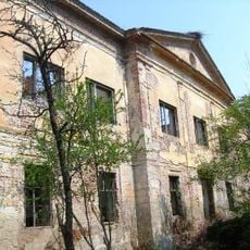
Gudenus-kastély
11 km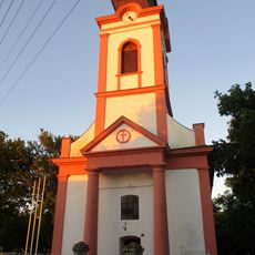
St. Procopius Church
33.8 km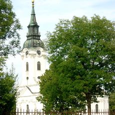
Église Saint-Georges d'Uzdin
31.8 km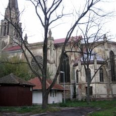
Catholic church in Jaša Tomić
638 m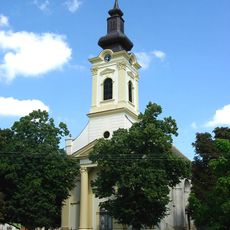
Église Saint-Nicolas de Radojevo
34.1 km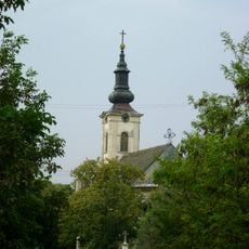
Église Saint-Sava de Srpski Itebej
18.1 km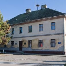
Војно-граничарска зграда у Добрици
25.4 km
Saint Nicholas church in Tomaševac
26.5 km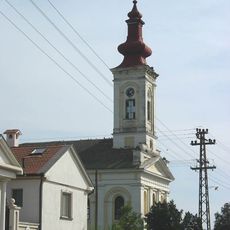
Église Saint-Nicolas de Samoš
27.4 km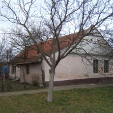
Кућа у Ботошу – Партизанска база
22 km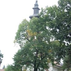
Église Saint-Nicolas de Jaša Tomić
846 m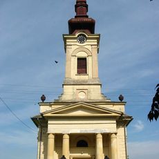
Église Saint-Nicolas d'Ilandža
30.5 km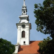
Église de l'Ascension de Jarkovac
20.2 km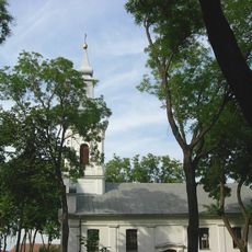
Église de la Nativité-de-la-Mère-de-Dieu de Botoš
22.5 km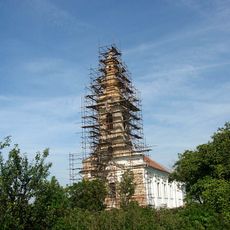
Église Saint-Nicolas de Neuzina
15.3 km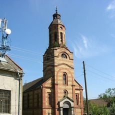
Église de l'Ascension de Šurjan
5 km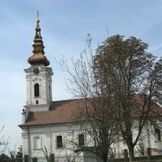
Church of Holy Transfiguration, Dobrica
25.2 km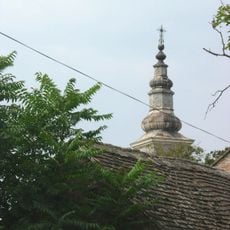
Église Saint-Michel de Međa
11 kmVisited this place? Tap the stars to rate it and share your experience / photos with the community! Try now! You can cancel it anytime.
Discover hidden gems everywhere you go!
From secret cafés to breathtaking viewpoints, skip the crowded tourist spots and find places that match your style. Our app makes it easy with voice search, smart filtering, route optimization, and insider tips from travelers worldwide. Download now for the complete mobile experience.

A unique approach to discovering new places❞
— Le Figaro
All the places worth exploring❞
— France Info
A tailor-made excursion in just a few clicks❞
— 20 Minutes