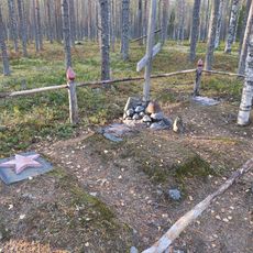
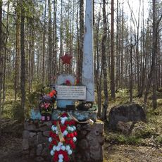
Suoyarvi, Administrative center in Suoyarvsky District, Russia
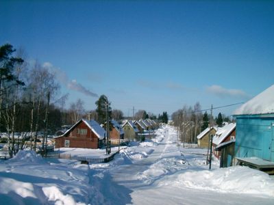
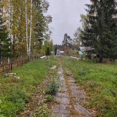
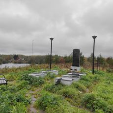
Suoyarvi serves as the administrative center of Suoyarvsky District in the Republic of Karelia, situated in a landscape filled with numerous lakes and dense forests. The town spreads across territory dotted with water bodies that are integral to its natural setting.
The settlement gained city status in 1940 and experienced significant growth in the following decades. This development reflected broader patterns of Soviet-era expansion in the region.
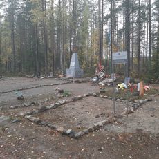
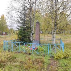
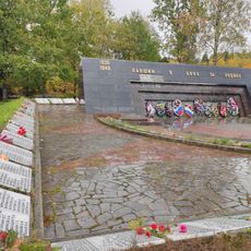
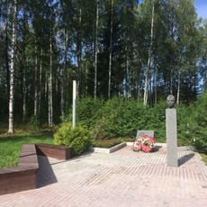
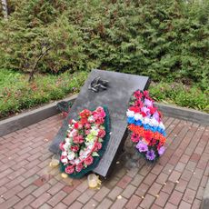
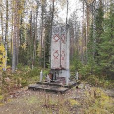
The town blends Russian and Karelian traditions that shape how residents live and interact with their surroundings. Local life reflects this mixture in everyday habits and the way the community uses public spaces.
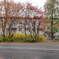
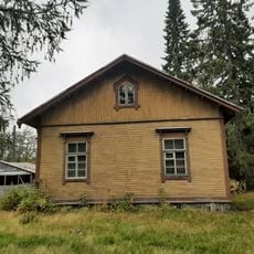
The town provides basic services and amenities suitable for visitors and residents staying for a while. You will find what you need for daily life, though services are organized as befits a small administrative center.
The population has declined significantly from its peak in the late 1980s, reflecting broader regional changes. This shift has shaped the local economy and community life in recent times.
Location: Suoyarvsky District
GPS coordinates: 62.08333,32.36667
Latest update: December 7, 2025 10:00
Saint Vladimir Skete (Valaam)
15.8 km
Kaipaa
4.1 km
Братская могила воинов, погибших в годы финской и Великой Отечественной войны 1941-1945 гг. (Лоймола)
34.6 km
Братские могилы советских и финских воинов (три) (Лоймольское с.п.)
25.4 km
Здание, где размещался штаб 7-й армии северного фронта (Суоярви)
684 m
Могила неизвестного советского воина (Лоймольское с.п.)
36.4 km
Могилы советских воинов (три) (Лоймольское с.п.)
35.6 km
Kollasyarvi historical memorial complex
25.4 km
Могила Героя Советского Союза Колесова А.М. (Лоймола)
35.9 km
Братская могила советских воинов (Лоймольское с.п.)
36.1 km
Братские могилы советских воинов, погибших в годы Великой Отечественной войны (Лоймольское с.п.)
35.1 km
Priest's house in Kuikkaniemi
12.7 km
Братская могила советских воинов, погибших в борьбе с фашистскими захватчиками (Пийтсиёки)
15.1 km
Братская могила советских воинов, погибших в боях с фашистскими захватчиками (Суоярви)
453 m
Кладбище медсанбата 310-й стрелковой дивизии (Лоймольское с.п.)
36.5 km
Pobedy, 6
369 m
Могилы советских воинов (минеров) (Лоймола)
36 km
Kuikkaniemi Lutheran church
12.8 km
Памятник Тикиляйнену П.А. (1921−1941), Герою Советского Союза (Суоярви)
383 m
Могила Тикиляйнена П.А. (1921−1941), Героя Советского Союза (Суоярви)
379 m
Часовня Ильи Пророка (Кудама)
38.4 km
Saint George chapel, Veshkelitsa
29.3 km
Братская могила советских воинов и памятный знак на месте, где находился штаб 99-й стрелковой дивизии (Лоймольское с.п.)
35.2 km
Кладбище советских воинов (10 могил) (ж/д ст. Няятяоя)
19.9 km
Братская могила советских воинов, погибших в годы Великой Отечественной войны (Лоймольское с.п.)
40.2 km
Братская могила советских воинов (Лоймольское с.п.)
29.2 km
Братская могила советских воинов, погибших в боях с фашистскими захватчиками (Вешкелица)
29.9 km
Братская могила советских воинов (Лоймольское с.п.)
35.1 kmVisited this place? Tap the stars to rate it and share your experience / photos with the community! Try now! You can cancel it anytime.
Discover hidden gems everywhere you go!
From secret cafés to breathtaking viewpoints, skip the crowded tourist spots and find places that match your style. Our app makes it easy with voice search, smart filtering, route optimization, and insider tips from travelers worldwide. Download now for the complete mobile experience.
A unique approach to discovering new places❞
— Le Figaro
All the places worth exploring❞
— France Info
A tailor-made excursion in just a few clicks❞
— 20 Minutes