
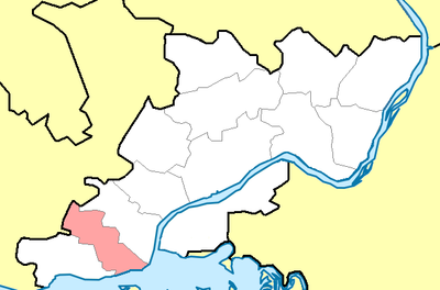
Быргындинское сельское поселение, human settlement in Karakulinsky District, Udmurt Republic, Russia
Location: Karakulinsky District
Inception: January 1, 2005
Capital city: Быргында
Shares border with: Ныргындинское сельское поселение, Чегандинское сельское поселение
GPS coordinates: 55.90257,53.41747
Latest update: June 21, 2025 07:23
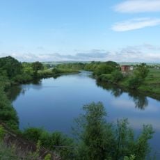
Ik
22.4 km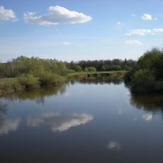
Izh
35.5 km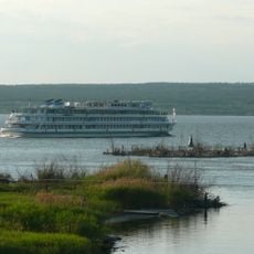
Nizhnekamsk Reservoir
41.7 km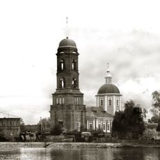
Saint Nicholas Church
52.1 km
Menzelya
30.5 km
Совхоза Татарстан
60.3 km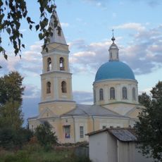
Cathedral of the Apostles Peter and Paul, Neftekamsk
57.5 km
Ozero Tatysh
52.6 km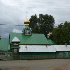
Church of the Dormition of the Theotokos
62.7 km
Sovkhoz imeni Kirova
52 km
Holy Trinity Church
62.9 km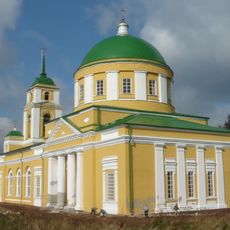
Преображенская церковь (Мазунино)
59 km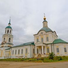
Holy Trinity church
45.9 km
Гиндукуш
61.7 km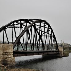
Railway bridge in Menzelinsk
28.5 km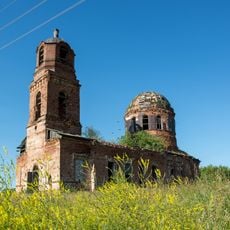
Church of the Protection of the Theotokos, Viyezd
51.8 km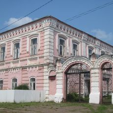
Каменный дом (Каракулино)
21.3 km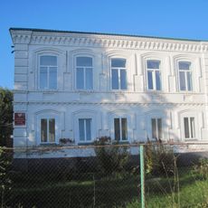
Жилой дом купца В.И. Трегубова (Каракулино)
21 km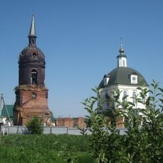
Saint Michael the Archangel church, Kigbayevo
53 km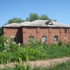
Хозяйственный корпус (Каракулино)
21.8 km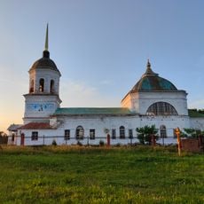
Церковь Спаса (Данилово)
62 km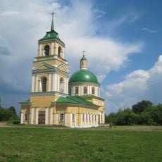
Церковь Вознесения (Галаново)
51.5 km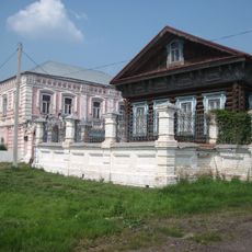
Усадьба купца И.Ф. Ведерникова (Каракулино)
21.3 km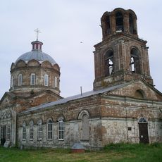
Церковь Николая Чудотворца (Новопоселенное)
3.8 km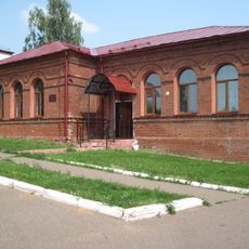
Двухклассное мужское училище (Каракулино)
21.4 km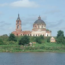
Церковь Рождества Богородицы (Колесниково)
12.9 km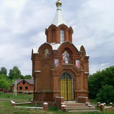
Chapel of the Theotokos of Kazan (Karakulino)
21.3 km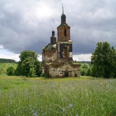
Георгиевская церковь (Кулюшево)
19.3 kmVisited this place? Tap the stars to rate it and share your experience / photos with the community! Try now! You can cancel it anytime.
Discover hidden gems everywhere you go!
From secret cafés to breathtaking viewpoints, skip the crowded tourist spots and find places that match your style. Our app makes it easy with voice search, smart filtering, route optimization, and insider tips from travelers worldwide. Download now for the complete mobile experience.

A unique approach to discovering new places❞
— Le Figaro
All the places worth exploring❞
— France Info
A tailor-made excursion in just a few clicks❞
— 20 Minutes