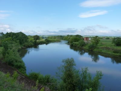
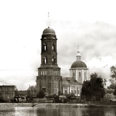
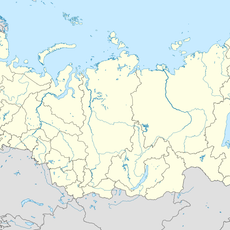
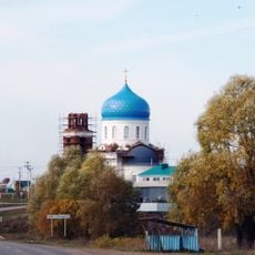
Ik, Protected river in Tatarstan and Bashkortostan, Russia
The Ik is a waterway that flows across three Russian regions, connecting the Bugulma-Belebey Hills with the Kama River. Its course spans approximately 571 kilometers through varying terrain and valley systems.
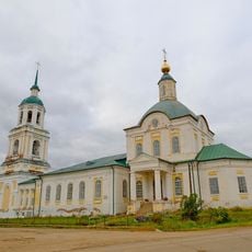
The waterway formed through natural processes and long served as a natural boundary between settlements and regions. When modern administrative divisions were established, it became an official border between territories.
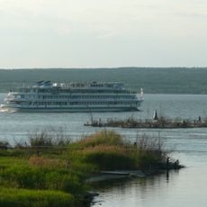
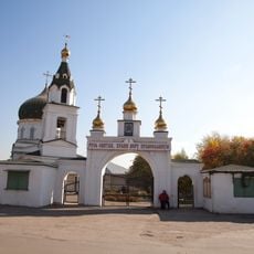
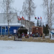
The river has long served as a fishing ground where local people practice traditional methods passed down through generations. Today, communities still depend on it as part of their daily life and connection to the land.
The river is most easily accessed near the towns of Nagaybakovo or Oktyabrsky, where entry points are well-located. Spring through autumn offers the best visiting conditions, when water levels and weather make exploration comfortable.
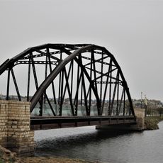
A bridge crossing the river connects two different time zones, creating a two-hour time difference between its banks. Bavly on one side and Oktyabrsky on the other literally exist in different hours of the day.
The community of curious travelers
AroundUs brings together thousands of curated places, local tips, and hidden gems, enriched daily by 60,000 contributors worldwide.