Enable Location

We need your location to show you interesting places around you

Discover nearby places

Find interesting locations and hidden gems around you

Precise directions

Get accurate directions and distances to places

Your location is never shared with other users. It's only used when you tap the location button.

Izh

Log in to your account

Start exploring — it's free

Trusted by 62,413 travelers worldwide

Continue with Google
Continue with Apple
or

We will send you a code to connect

By continuing, you accept our Terms and Conditions and our Privacy Policy

Check your inbox

We've sent a pincode in your inbox. Please enter the code below.

Izh, Protected river system in Udmurt Republic and Tatarstan, Russia.

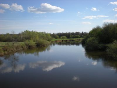
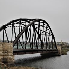
The Izh is a river system flowing for approximately 237 kilometers through Udmurtia and Tatarstan, marked by gentle slopes and low banks. The waterway reaches widths of about 60 meters in some sections and flows at a moderate pace.

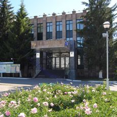
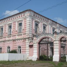
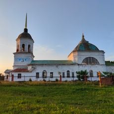
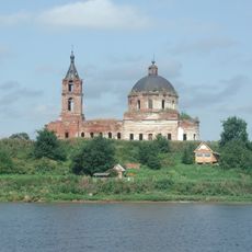
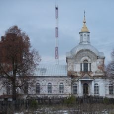
A reservoir was built in 1760 to harness the river for industrial purposes, shaping regional development. The river later gained protected status and was designated as a natural monument in Tatarstan in 1978.

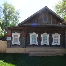
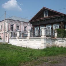
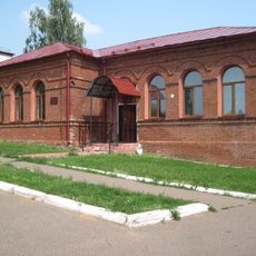
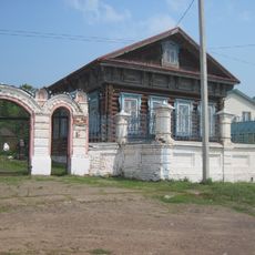
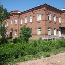
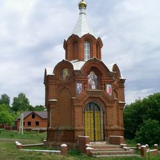
People living along the river have depended on its waters for generations, using it in daily work and traditional skills. Fishing and water-based activities remain part of how communities here relate to the landscape.

The river is suited for kayaking and fishing during warmer months, with navigable sections offering different conditions for various experience levels. Check local conditions and access points before planning any water-based activity.

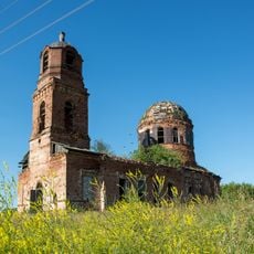
Mineral springs emerge in the river's valley, creating natural mineral-rich waters that give the landscape special geological character. These natural features are easy to overlook when focusing on the main waterway itself.

The community of curious travelers

AroundUs brings together thousands of curated places, local tips, and hidden gems, enriched daily by 60,000 contributors worldwide.

Start exploring
Location
Location
GPS coordinates
56.03750,52.90111
Latest update
December 10, 2025 15:52
Around this place
Tübän Kama National Park
Russian Federation

Tübän Kama National Park

44.6 km
Nizhnekamsk Reservoir
Russian Federation

Nizhnekamsk Reservoir

19.6 km
Mozhginsky District
Russian Federation

Mozhginsky District

54.3 km
KAMAZ Stadium
Russian Federation

KAMAZ Stadium

45.5 km
Church of the Ascension of Christ
Russian Federation

Church of the Ascension of Christ

41.8 km
Täwbä Mosque, Çallı
Russian Federation

Täwbä Mosque, Çallı

52.4 km
Church of Saints Cosmas and Damian
Russian Federation

Church of Saints Cosmas and Damian

49.1 km
Naberezjnotsjelninskiy gosoedarstvenniy tatarskiy dramatitsjeskiy teatr
Russian Federation

Naberezjnotsjelninskiy gosoedarstvenniy tatarskiy dramatitsjeskiy teatr

45.1 km
Russian Federation

Совхоза Татарстан

50.2 km
Russian Federation

Яр Чаллы картиналар галереясы

45 km
Дом-музей Ашальчи Оки
Russian Federation

Дом-музей Ашальчи Оки

30.7 km
Railway bridge in Menzelinsk
Russian Federation

Railway bridge in Menzelinsk

39.4 km
Church of the Protection of the Theotokos, Viyezd
Russian Federation

Church of the Protection of the Theotokos, Viyezd

50.6 km
Каменный дом (Каракулино)
Russian Federation

Каменный дом (Каракулино)

50.1 km
Жилой дом купца В.И. Трегубова (Каракулино)
Russian Federation

Жилой дом купца В.И. Трегубова (Каракулино)

50 km
Хозяйственный корпус (Каракулино)
Russian Federation

Хозяйственный корпус (Каракулино)

50.3 km
Церковь Спаса (Данилово)
Russian Federation

Церковь Спаса (Данилово)

44.8 km
Усадьба купца И.Ф. Ведерникова (Каракулино)
Russian Federation

Усадьба купца И.Ф. Ведерникова (Каракулино)

50.1 km
Церковь Николая Чудотворца (Новопоселенное)
Russian Federation

Церковь Николая Чудотворца (Новопоселенное)

32.6 km
Церковь Покрова Пресвятой Богородицы (Большая Кибья)
Russian Federation

Церковь Покрова Пресвятой Богородицы (Большая Кибья)

41.3 km
Holy Trinity Church (Alnashi)
Russian Federation

Holy Trinity Church (Alnashi)

30.8 km
Двухклассное мужское училище (Каракулино)
Russian Federation

Двухклассное мужское училище (Каракулино)

50.3 km
Деревянный дом (Каракулино)
Russian Federation

Деревянный дом (Каракулино)

50.1 km
Главный корпус (Каракулино)
Russian Federation

Главный корпус (Каракулино)

50.2 km
Церковь Рождества Богородицы (Колесниково)
Russian Federation

Церковь Рождества Богородицы (Колесниково)

42.9 km
Ильинская церковь (Ильинское)
Russian Federation

Ильинская церковь (Ильинское)

50.1 km
Chapel of the Theotokos of Kazan (Karakulino)
Russian Federation

Chapel of the Theotokos of Kazan (Karakulino)

50.2 km
Георгиевская церковь (Кулюшево)
Russian Federation

Георгиевская церковь (Кулюшево)

41.6 km
Show the full map
« Izh - Protected river system in Udmurt Republic and Tatarstan, Russia » is provided by Around Us (aroundus.com). Images and texts are derived from Wikimedia project under a Creative Commons license. You are allowed to copy, distribute, and modify copies of this page, under the conditions set by the license, as long as this note is clearly visible.

Discover hidden gems everywhere you go!

From secret cafés to breathtaking viewpoints, skip the crowded tourist spots and find places that match your style. Our app makes it easy with voice search, smart filtering, route optimization, and insider tips from travelers worldwide. Download now for the complete mobile experience.

Around Us App Screenshot

A unique approach to discovering new places

Le Figaro

All the places worth exploring

France Info

A tailor-made excursion in just a few clicks

20 Minutes

Around Us
Travel Guide & Maps
Download

Send to your phone

QR Code
1

Open the camera app on your mobile.

2

Point at the QR code with your camera. A notification will appear.

3

Tap the notification to open the link.