
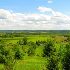
Робяши, human settlement in Kostroma Oblast, Russia
Location: Головинское сельское поселение
GPS coordinates: 58.69893,46.14626
Latest update: April 13, 2025 06:56

Northern Ridge
184.8 km
Заповедник "Нургуш"
155.1 km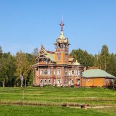
Astashovo estate
177.2 km
Kologrivsky Nature Reserve
135.1 km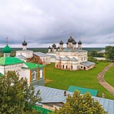
Makaryev-Unzhensky Monastery
164.3 km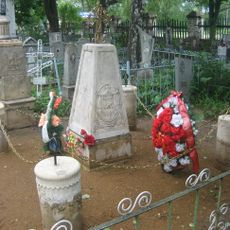
Voznesenskoye Cemetery
185.4 km
Isakova Mointain
154.2 km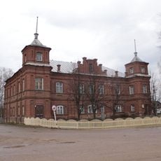
Kologriv local history museum
106.1 km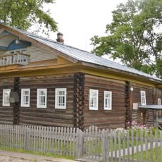
Дом-музей И. С. Конева
176.3 km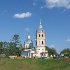
Истобенский Троицкий монастырь
156.1 km
Кузнєцово (Шар'їнський район)
57.2 km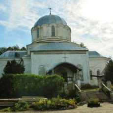
Kazan Church, Nikolsk
100 km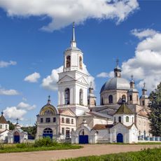
Троицкая церковь
152 km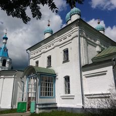
Покровская церковь
170.8 km
Вохомский краеведческий музей
43.9 km
Church of Nativity of Theotokos
177.2 km
Church of the Holy Mandylion, Izh
183.9 km
Saint Michael church, Urtma
176.8 km
Церковь Космы и Дамиана (Логдуз)
165.1 km
Intercession church, Verkhodvorie
180.1 km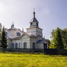
Крестовоздвиженская церковь
175.6 km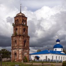
Church of the Protection of the Theotokos, Lom
170.8 km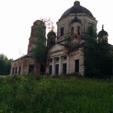
Dormilion church
105.6 km
Yelkhovetsky
114.2 km
Рамешинский
129.9 km
Прохоров (Костромська область)
47.6 km
Дюковское лесничество
50.7 km
Алешино (починок)
149.6 kmReviews
Visited this place? Tap the stars to rate it and share your experience / photos with the community! Try now! You can cancel it anytime.
Discover hidden gems everywhere you go!
From secret cafés to breathtaking viewpoints, skip the crowded tourist spots and find places that match your style. Our app makes it easy with voice search, smart filtering, route optimization, and insider tips from travelers worldwide. Download now for the complete mobile experience.

A unique approach to discovering new places❞
— Le Figaro
All the places worth exploring❞
— France Info
A tailor-made excursion in just a few clicks❞
— 20 Minutes