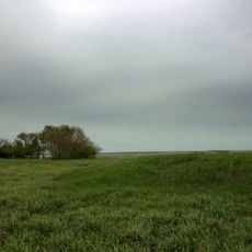
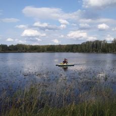
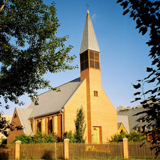
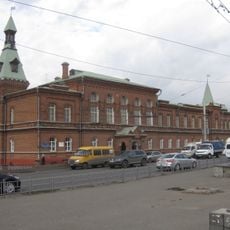
Чернолучинское городское поселение, human settlement in Omsky District, Omsk Oblast, Russia
The community of curious travelers
AroundUs brings together thousands of curated places, local tips, and hidden gems, enriched daily by 60,000 contributors worldwide.
Location
Capital city
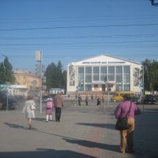
Chernoluchinsky
GPS coordinates
55.28333,73.03333
Latest update
March 15, 2025 22:54