
Село Кострома, human settlement in Karaginsky District, Koryak Okrug, Kamchatka Krai, Russia
Location: Karaginsky District
Capital city: Kostroma
GPS coordinates: 59.03987,163.16590
Latest update: March 10, 2025 07:36
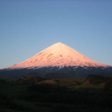
Klyuchevskaya Sopka
364.7 km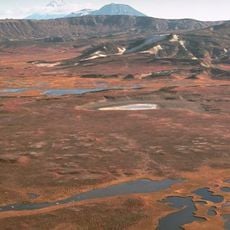
Kronotsky Nature Reserve
518.3 km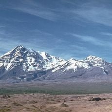
Shiveluch
286.2 km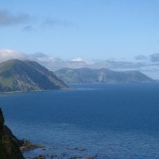
Komandorsky Zapovednik
517.1 km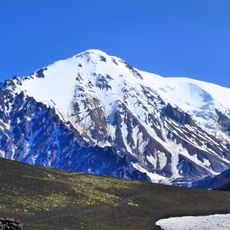
Tolbachik
395.6 km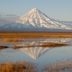
Kronotsky
503.9 km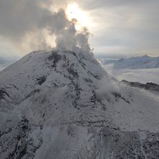
Bezymianny Volcano
374.4 km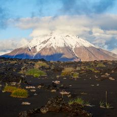
Udina
397.9 km
Koryak Nature Reserve
191.7 km
Kamen
369.7 km
Ichinsky
496.7 km
Krasheninnikov
524.9 km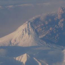
Kizimen
467.9 km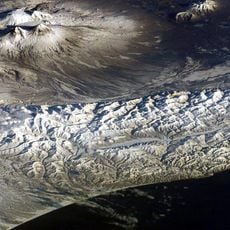
Ushkovsky
367.7 km
Klyuchevskoy nature park
332.3 km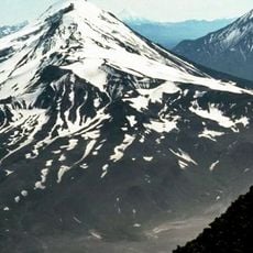
Zimin volcano
385.4 km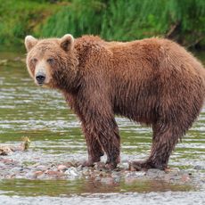
Dvuhyurtochnoe Lake
308.5 km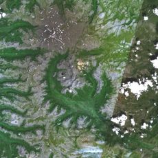
Uksichan
436.7 km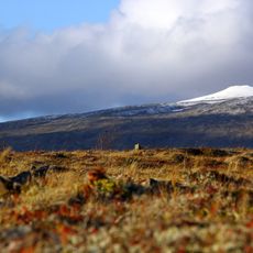
Kebeney
257.6 km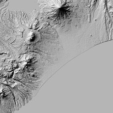
Gamchen
476.5 km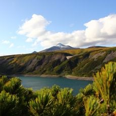
Калгнитунуп
293.3 km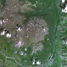
Maly Payalpan
478.8 km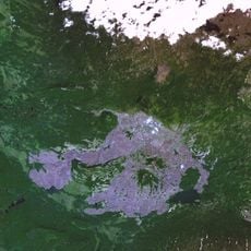
Terpuk
283.3 km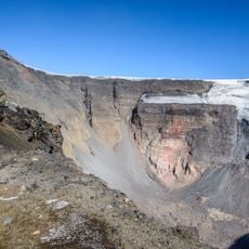
Plosky
513.6 km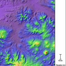
Surveyors volcano
402.3 km
Taygonos
243.1 km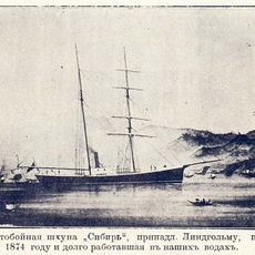
Sibir
231.5 km
Klyuchevskoy natural park
362.5 kmReviews
Visited this place? Tap the stars to rate it and share your experience / photos with the community! Try now! You can cancel it anytime.
Discover hidden gems everywhere you go!
From secret cafés to breathtaking viewpoints, skip the crowded tourist spots and find places that match your style. Our app makes it easy with voice search, smart filtering, route optimization, and insider tips from travelers worldwide. Download now for the complete mobile experience.

A unique approach to discovering new places❞
— Le Figaro
All the places worth exploring❞
— France Info
A tailor-made excursion in just a few clicks❞
— 20 Minutes