
Сотнурське сільське поселення
Сотнурське сільське поселення, human settlement in Volzhsky District, Mari El Republic, Russia
Location: Volzhsky District
Capital city: Sotnur
GPS coordinates: 56.13944,48.77806
Latest update: April 1, 2025 04:23
Raifsky Bogoroditsky Monastery
26.6 km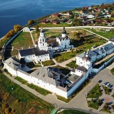
Assumption Cathedral, Sviyazhsk
41.8 km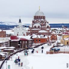
Sviyazhsk History and Architectural Museum
41.5 km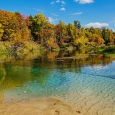
Mariy Chodra National Park
21.2 km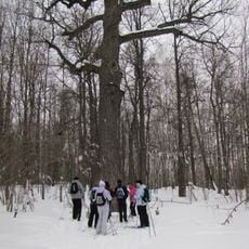
Pugachov's Oak
19.2 km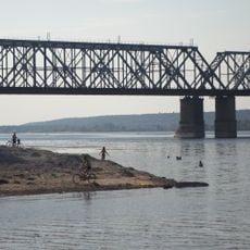
Zelenodolsky bridge
38.9 km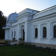
Engelhardt Observatory
33.4 km
Uritskogo park, Kazan
38 km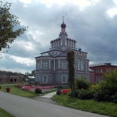
Җидекүл бушлыгы
28.9 km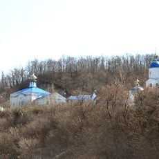
Sviyazhskaya Makaryevskaya Poustinia
40.1 km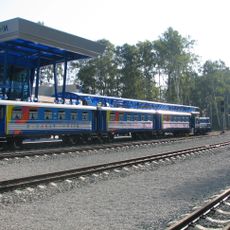
Kazan children's railway
33.7 km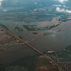
Zaymishche Bridge
39.5 km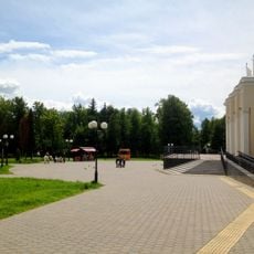
«Kryl'ya Sovetov» park
37.4 km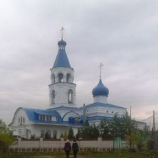
Крестовоздвиженская церковь (Васильево)
35.3 km
Часовня в посёлке Нижние Вязовые
39.6 km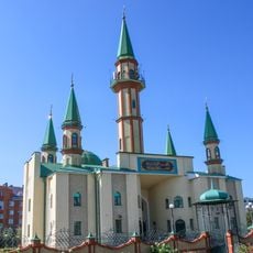
Джамиг
36.3 km
Северный
46.4 km
Nikol'skiy
29.5 km
Ильинский (Морке районы)
29.1 km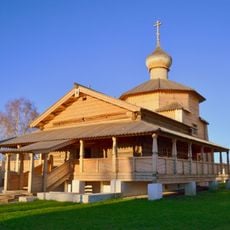
Holy Trinity Church
41.7 km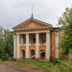
Medical School Building, Volzhsk
39.7 km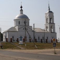
Epiphany church in Morki
34.9 km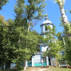
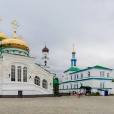
Saint Gurias Church, Petyal
8 km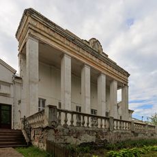
Gornaya Street 1, Volzhsk
40.5 km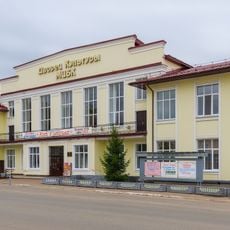
Lenin Street 33, Volzhsk
39.9 km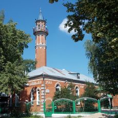
Mosque in Zelenodolsk
34.8 km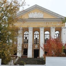
Cinema "Rodina", Volzhsk
40 km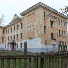
School 3, Volzhsk
40.5 kmReviews
Visited this place? Tap the stars to rate it and share your experience / photos with the community! Try now! You can cancel it anytime.
Discover hidden gems everywhere you go!
From secret cafés to breathtaking viewpoints, skip the crowded tourist spots and find places that match your style. Our app makes it easy with voice search, smart filtering, route optimization, and insider tips from travelers worldwide. Download now for the complete mobile experience.

A unique approach to discovering new places❞
— Le Figaro
All the places worth exploring❞
— France Info
A tailor-made excursion in just a few clicks❞
— 20 Minutes