Тазбичинское сельское поселение
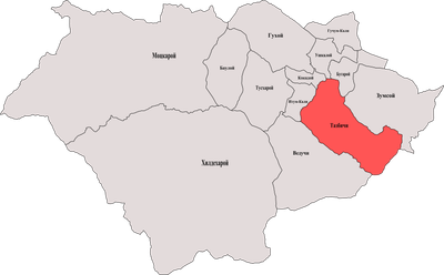
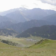
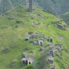
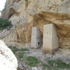
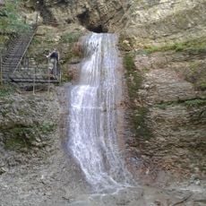
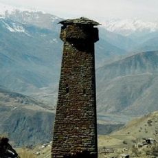
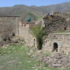
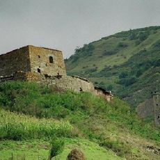
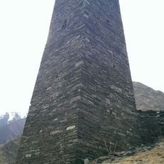
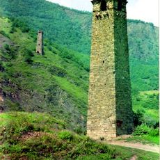
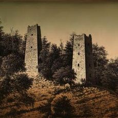
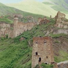
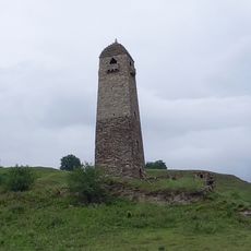
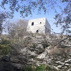
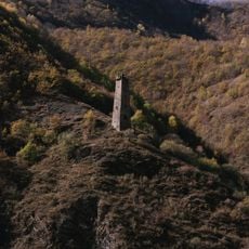
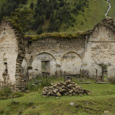
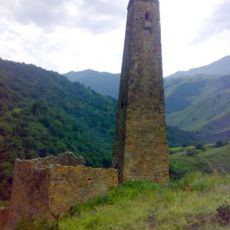
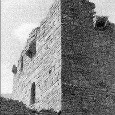
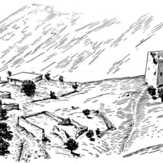
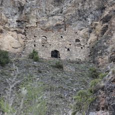
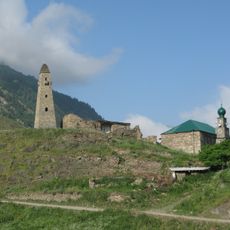
Тазбичинское сельское поселение, human settlement in Itum-Kalinsky District, Chechen Republic, Russia
Location: Itum-Kalinsky District
Capital city: Tazbichi
GPS coordinates: 42.70778,45.59722
Latest update: March 3, 2025 02:26
Tebulosmta
27.5 km
Tsoy-Peda
27.7 km
Ushkaloy Towers
9.1 km
Mount Diklosmta
28.5 km
Nikhaloy waterfalls
15.5 km
Komito
19.4 km
Хаскалинская боевая башня
1.6 km
Itum-Kale Fortress
3.1 km
Arqun Muzey-Qoruğu
22 km
Цой-Педе (боевая башня)
27.7 km
Maistismta
28.1 km
Donosmta
23.8 km
Dora
1.4 km
Category:Shatoy historic & architectural complex
19.2 km
Shatoy towers
20.9 km
Nikara qala kompleksi
22.9 km
Эткали
404 m
Toumsoy Tower
13.7 km
Бекхайла
6.5 km
Dore II
1.2 km
Dartlo church
30.1 km
Саттойская боевая башня
18.9 km
Моцарой
19 km
Гимара
26.2 km
Шулгак
403 m
Моцарха
27.5 km
Ведучи
2.4 km
Khimoi Historical and Architectural Complex
21.6 kmReviews
Visited this place? Tap the stars to rate it and share your experience / photos with the community! Try now! You can cancel it anytime.
Discover hidden gems everywhere you go!
From secret cafés to breathtaking viewpoints, skip the crowded tourist spots and find places that match your style. Our app makes it easy with voice search, smart filtering, route optimization, and insider tips from travelers worldwide. Download now for the complete mobile experience.
A unique approach to discovering new places❞
— Le Figaro
All the places worth exploring❞
— France Info
A tailor-made excursion in just a few clicks❞
— 20 Minutes