
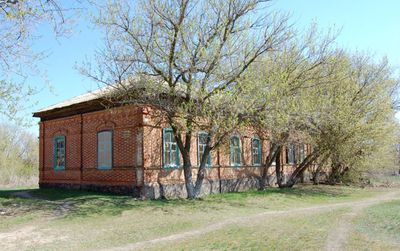
Podchinny, human settlement in Zhirnovsky District, Volgograd Oblast, Russia
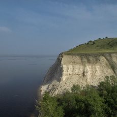
Stepan Razin Cliff
42.8 km
Petrov Val canal
83.9 km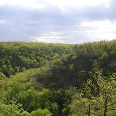
Kumysnaya Polyana
90.4 km
Saratov Drama Theater I. Slonov
91 km
Saratov railway bridge
79.5 km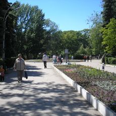
Saratov City Park
89.5 km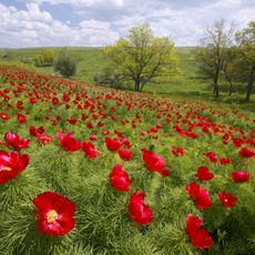
Пион тонколистный
52.7 km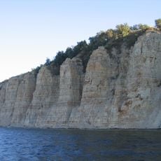
Stolbichi
57.9 km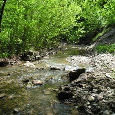
Щербаковская балка
54.2 km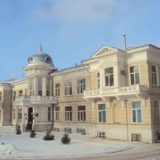
Clinical Hospital named S. R. Mirotvortsev SSMU
90 km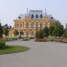
Zemstvo of Kamyshin
90 km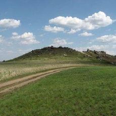
Камышинские горы Уши и Лоб
83 km
Borisov-Musatov Estate, Saratov
90.9 km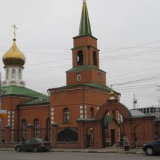
Kazan Church, Saratov
87.8 km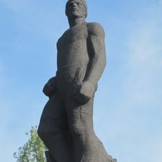
Monument to the 1905 Revolution (Saratov)
89.9 km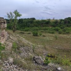
Большой Каменный овраг
36.1 km
Houses of 8 March in Saratov
90.1 km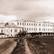
Saratov institute of noble maidens
89.8 km
Суворовский
15.8 km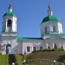
Saint Michael church, Mikhaylovka
76.8 km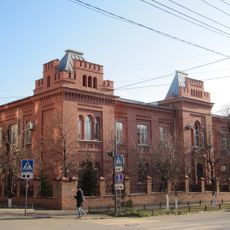
Clinic of eye diseases, Saratov
90.9 km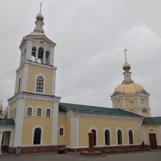
Նիկոլսկի մայր տաճար
90.1 km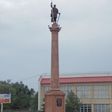
Კამიშინის დიმიტრი თესალონიკელის ძეგლი
88.5 km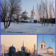
Church of Nativity, Nizhnay Dobrinka
35 km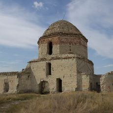
Church of Saint John the Baptist (Lysye Gory)
80 km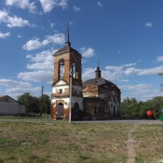
Церковь Дмитрия Солунского (Меловатка)
37 km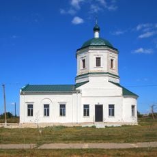
Храм Воскресения Христова (Иваново-Языковка)
86.8 km
Sinyaya Mountain
18.8 kmReviews
Visited this place? Tap the stars to rate it and share your experience / photos with the community! Try now! You can cancel it anytime.
Discover hidden gems everywhere you go!
From secret cafés to breathtaking viewpoints, skip the crowded tourist spots and find places that match your style. Our app makes it easy with voice search, smart filtering, route optimization, and insider tips from travelers worldwide. Download now for the complete mobile experience.

A unique approach to discovering new places❞
— Le Figaro
All the places worth exploring❞
— France Info
A tailor-made excursion in just a few clicks❞
— 20 Minutes