Отарское сельское поселение, human settlement in Mamadyshsky District, Republic of Tatarstan, Russia
Location: Mamadyshsky District
Capital city: Atar
GPS coordinates: 55.62712,51.44322
Latest update: March 10, 2025 12:23
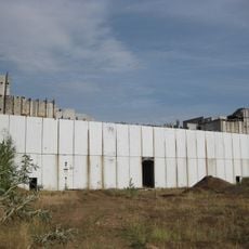
Tataria Nuclear Power Station
20.8 km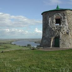
Шайтан шәһәрчеге
39.3 km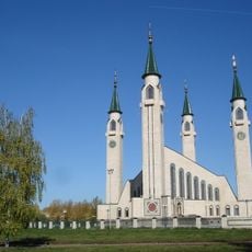
Nizhne Kam Mosque
23.4 km
Nadezhda Durova Estate, Elabuga
41.8 km
Regional Historical Museum Naberezhnye Chelny
53.9 km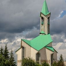
Täwbä Mosque, Çallı
55.2 km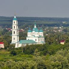
Cathedral of the Holy Mandylion, Elabuga
41 km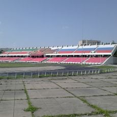
Stroitel Stadium
54.3 km
Dolphinarium in Naberezhnye Chelny
54 km
Ivan Shishkin's House Museum
40.9 km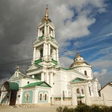
Church of the Protection of the Theotokos, Elabuga
41.8 km
Elabuzhsky Monastery
42.7 km
Troitskoe Cemetery, Elabuga
40.5 km
Ananʹinskiĭ Mound
44.3 km
Memorial museum of Boris Pasternak
57.9 km
Bekhterev's museum in Elabuga
40.7 km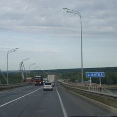
Mamadysh bridge
4.7 km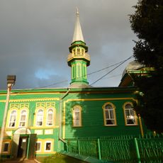
Chistopol Mosque
58.4 km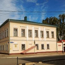
Gogol Street 1, Elabuga
40.9 km
Мемориальный комплекс М. И. Цветаевой
41.9 km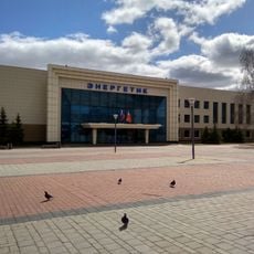
Palace of Culture Energetik
54.2 km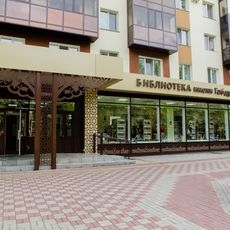
Габдулла Тукай исемендәге үзәк китапханә
22.8 km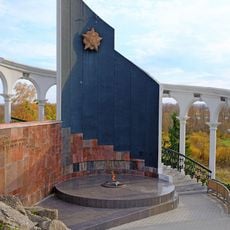
Площадь Памяти
40.8 km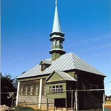
Äsän-Yılğa Mosque
63.1 km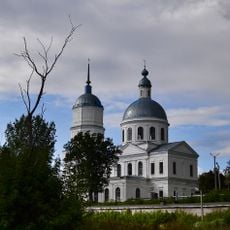
Saint Nicholas Church (Elabuga)
41.4 km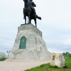
Monument to Ibrahim the First
38.9 km
Posiołok sowchoza «Piatiletka»
3.9 km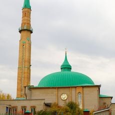
Çämiğ Mosque, Alabuğa
38.7 kmVisited this place? Tap the stars to rate it and share your experience / photos with the community! Try now! You can cancel it anytime.
Discover hidden gems everywhere you go!
From secret cafés to breathtaking viewpoints, skip the crowded tourist spots and find places that match your style. Our app makes it easy with voice search, smart filtering, route optimization, and insider tips from travelers worldwide. Download now for the complete mobile experience.

A unique approach to discovering new places❞
— Le Figaro
All the places worth exploring❞
— France Info
A tailor-made excursion in just a few clicks❞
— 20 Minutes