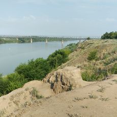
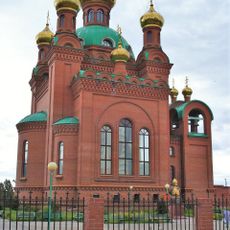
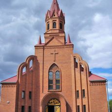
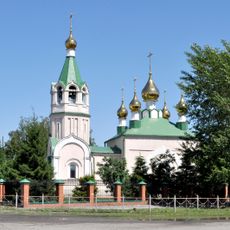
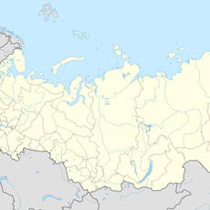
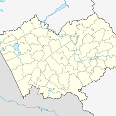
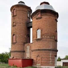
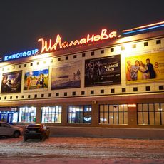
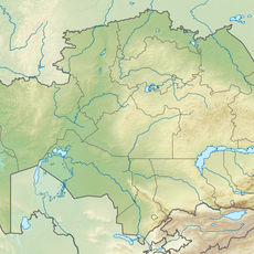
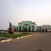
Municipal Formation of the City of Slavgorod, human settlement in Russia
The community of curious travelers
AroundUs brings together thousands of curated places, local tips, and hidden gems, enriched daily by 60,000 contributors worldwide.
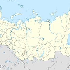
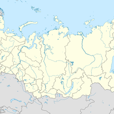
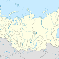
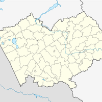
Location
Inception
December 3, 2008
Capital city
Slavgorod
GPS coordinates
52.99906,78.64693
Latest update
March 9, 2025 20:39