
Комишловка, human settlement in Tyazhinsky District, Kemerovo Oblast, Russia
Location: Преображенское сельское поселение
Elevation above the sea: 208 m
GPS coordinates: 55.96833,88.54167
Latest update: June 15, 2025 13:46

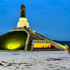
Monument to the Warrior Liberator
164.6 km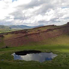
Sunduki Range
161.4 km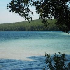
Ingol
51.6 km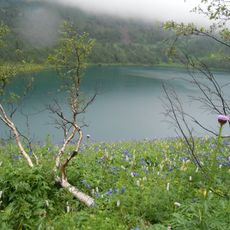
Ivanovskie ozyora
151.1 km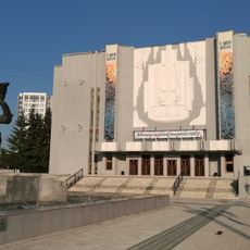
Boris Shtokolov Philharmonic Kemerov
168.2 km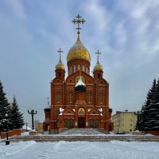
Cathedral of the Theotokos of the Sign
168.6 km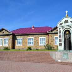
Krasnaya Gorka Museum Complex
168.5 km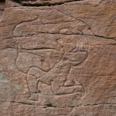
Sulek petroglyphs
129.3 km
Munira Kemerovo Mosque
146.6 km
Itat Formation
50.9 km
Kuznetskiy Bridge, Kemerovo
168.5 km
Chebaki fortress
155.7 km
Музейно-выставочный центр города Назарово
117 km
Kuzbassky Bridge, Kemerovo
165.7 km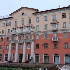
Кемеровский областной краеведческий музей
168.7 km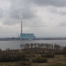
Beryozovo Reservoir
53.9 km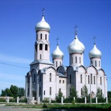
Holy Trinity Cathedral
62.1 km
Tsingol
78.1 km
Saints Peter and Paul сhurche
109.3 km
Rutgers house, Kemerovo
168.5 km
Калининский
62.2 km
Vesennyaya Street
168.7 km
3755 км
24.8 km
Oshkol' petroglyphs
145.3 km
Kemerovo Oblast Museum of Fine Arts
168.8 km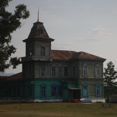
Ivanitsky Estate, Chebaki
162.7 km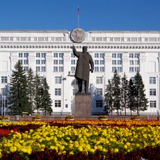
Памятник В. И. Ленину
168.5 km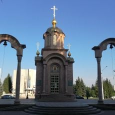
Часовня иконы Божией Матери «Всех Скорбящих Радость»
168.3 kmReviews
Visited this place? Tap the stars to rate it and share your experience / photos with the community! Try now! You can cancel it anytime.
Discover hidden gems everywhere you go!
From secret cafés to breathtaking viewpoints, skip the crowded tourist spots and find places that match your style. Our app makes it easy with voice search, smart filtering, route optimization, and insider tips from travelers worldwide. Download now for the complete mobile experience.

A unique approach to discovering new places❞
— Le Figaro
All the places worth exploring❞
— France Info
A tailor-made excursion in just a few clicks❞
— 20 Minutes