
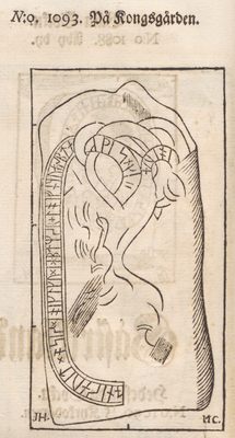
Gästriklands runinskrifter 3, runristning i Gästrikland (Österfärnebo 43:1)
Location: Sandviken Municipality
GPS coordinates: 60.30436,16.79240
Latest update: April 7, 2025 18:44

Färnebofjärden National Park
11.5 km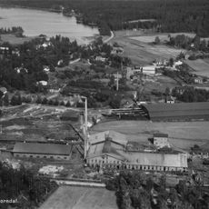
Horndals bruk
20.7 km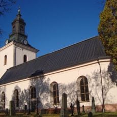
By Church
20.8 km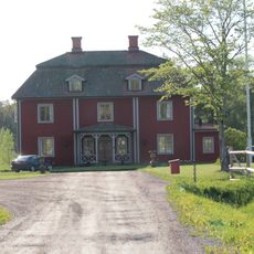
Hadeholm
13.8 km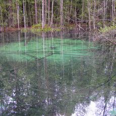
Ingbokällorna
17.6 km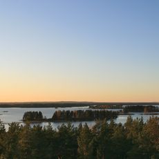
Nedre Dalälven River Landscape
7.9 km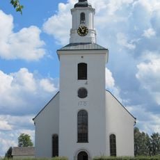
Hedesunda Church
15 km
Torrön
11.9 km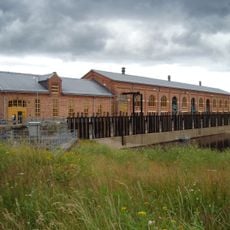
Old hydroelectric power plant of Näs bruk
22.6 km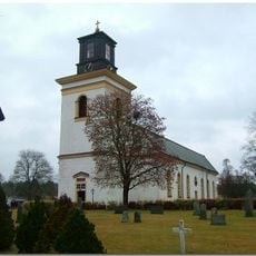
Österfärnebo Church
283 m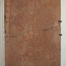
Gästriklands runinskrifter 9
24.4 km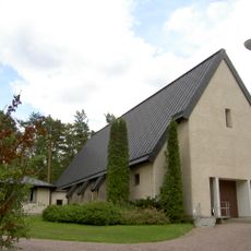
Horndals kyrka
21.5 km
Koversta
1.4 km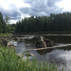
Gysinge
6.2 km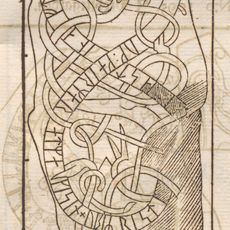
Gästriklands runinskrifter 4
15 km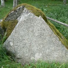
Västmanlands runinskrifter 31
18.4 km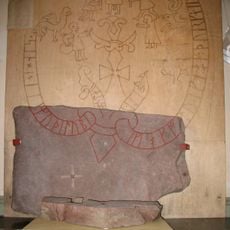
Gästriklands runinskrifter 2
273 m
Östa
15.4 km
Boberget
23.9 km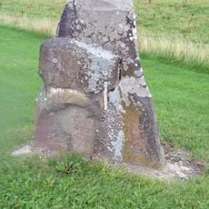
Gästriklands runinskrifter 6
13.8 km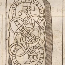
Gästriklands runinskrifter 1
273 m
Möklinta 159:1
23.1 km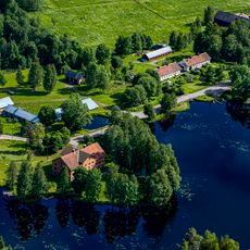
Gammelstilla bruk
17.4 km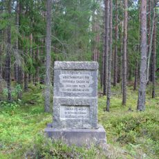
Östervåla 12:2
22 km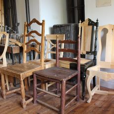
Östervåla möbelmuseum
24.2 km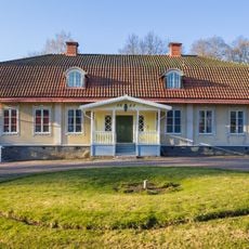
Horndals bruksmuseum
20.7 km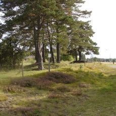
Hedesunda 33:1
14.4 km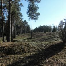
Årsunda 9:1
24 kmReviews
Visited this place? Tap the stars to rate it and share your experience / photos with the community! Try now! You can cancel it anytime.
Discover hidden gems everywhere you go!
From secret cafés to breathtaking viewpoints, skip the crowded tourist spots and find places that match your style. Our app makes it easy with voice search, smart filtering, route optimization, and insider tips from travelers worldwide. Download now for the complete mobile experience.

A unique approach to discovering new places❞
— Le Figaro
All the places worth exploring❞
— France Info
A tailor-made excursion in just a few clicks❞
— 20 Minutes