
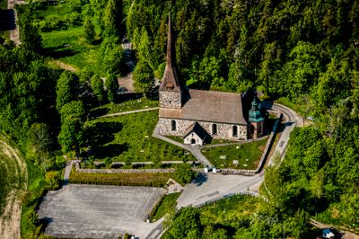
Österhaninge socken, historisk sogn i Södermanland
Location: Haninge Municipality
Location: Sotholm hundred
Part of: Södermanland
GPS coordinates: 59.12722,18.17000
Latest update: March 7, 2025 15:58
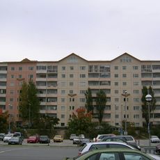
Brandbergen
4.8 km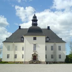
Årsta Castle
2.6 km
Jordbro Grave Field
2.8 km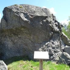
Galgstenen, Haninge
3.1 km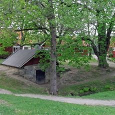
Rudans gård
4.7 km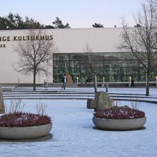
Haninge kulturhus
4.8 km
Runmarsvreten
2.6 km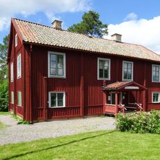
Gamla Tingshuset, Västerhaninge
3.6 km
Gullringskärret
2.5 km
Södermanlands runinskrifter Fv1959;262
1.6 km
Slätmossens naturpark
3.5 km
Blistastenen
2.6 km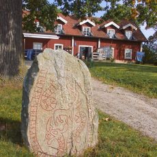
Södermanlands runinskrifter 237
4.2 km
Runenstein von Södra Beteby
1.7 km
Snörom, Haninge
2.1 km
Södermanlands runinskrifter 240
3.5 km
Södermanlands runinskrifter 269
4.7 km
Södermanlands runinskrifter 264
971 m
Björklunds gård
2.9 km
Gullringen, Haninge
2.8 km
Södermanlands runinskrifter 265
2.8 km
Sö 266
924 m
Södermanlands runinskrifter 273
1.3 km
Södermanlands runinskrifter 260
1.7 km
Södermanlands runinskrifter 263
1.1 km
Södermanlands runinskrifter 259
921 m
Södermanlands runinskrifter 236
2.4 km
Södermanlands runinskrifter 238
4.1 kmVisited this place? Tap the stars to rate it and share your experience / photos with the community! Try now! You can cancel it anytime.
Discover hidden gems everywhere you go!
From secret cafés to breathtaking viewpoints, skip the crowded tourist spots and find places that match your style. Our app makes it easy with voice search, smart filtering, route optimization, and insider tips from travelers worldwide. Download now for the complete mobile experience.

A unique approach to discovering new places❞
— Le Figaro
All the places worth exploring❞
— France Info
A tailor-made excursion in just a few clicks❞
— 20 Minutes