
Oviken, district in Berg Municipality, Sweden
Location: Berg Municipality
Inception: January 1, 2016
GPS coordinates: 62.99694,14.39750
Latest update: April 10, 2025 03:59
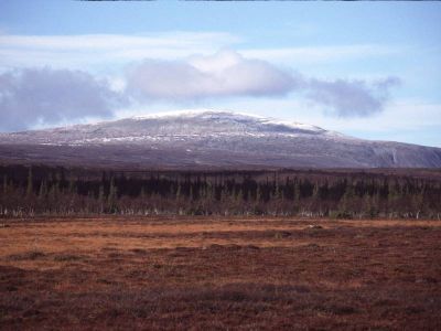
Hoverberget
18.7 km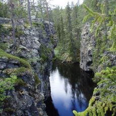
Kusbölehelvetet
14 km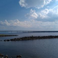
Sannasund bridge
3.9 km
Hovermo gårdsmuseum
12.8 km
Marby gamla kyrka
15.8 km
Fillstabäcken Nature Reserve
17.5 km
Näs kyrka, Jämtland
9.3 km
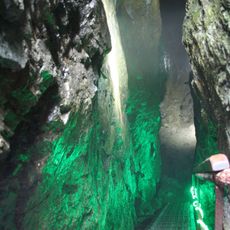
Hoverberg cave
18.5 km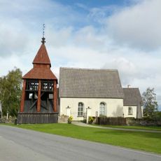
Norderö Church
17 km
Gäle Virgin Forest Nature Reserve
17.5 km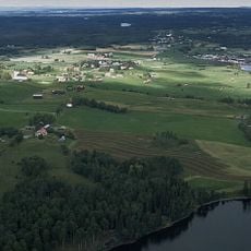
Näs
9.3 km
Rödmyrmyren
14.3 km
Bye kalkbarrskog
19.6 km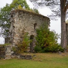
Sunne 2:1
14.7 km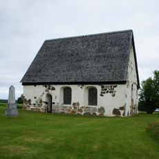
Marby 25:2
15.9 km
Hackås 90:1
10 km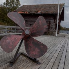
Sjöfartsmuseum Hackås
9.9 km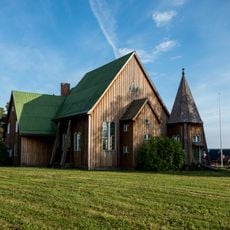
Klockaregårdens småkyrka
9.2 km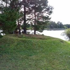
Sunne 1:1
15 km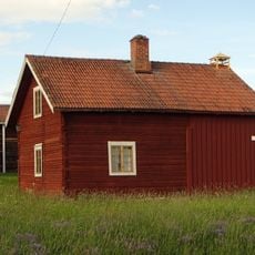
Tunvågen
12.4 km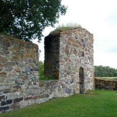
Sunne kastal
14.7 km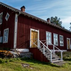
Låsböle ordenshus
19.1 km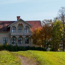
Månsgården
8 km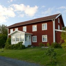
Mickelsgård
20 km
Oviken 408
59 m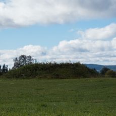
Hackås 72:2
9.3 km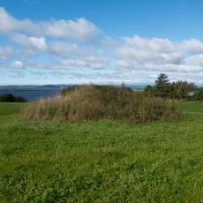
Hackås 72:1
9.3 km
Andersö skans
15.2 kmReviews
Visited this place? Tap the stars to rate it and share your experience / photos with the community! Try now! You can cancel it anytime.
Discover hidden gems everywhere you go!
From secret cafés to breathtaking viewpoints, skip the crowded tourist spots and find places that match your style. Our app makes it easy with voice search, smart filtering, route optimization, and insider tips from travelers worldwide. Download now for the complete mobile experience.

A unique approach to discovering new places❞
— Le Figaro
All the places worth exploring❞
— France Info
A tailor-made excursion in just a few clicks❞
— 20 Minutes