
Nora, district in Kramfors Municipality, Sweden
Location: Kramfors Municipality
Inception: January 1, 2016
Part of: Ångermanland
GPS coordinates: 62.87250,18.08417
Latest update: April 19, 2025 04:36
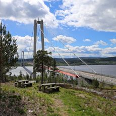
Höga Kusten Bridge
11.1 km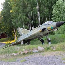
Mannaminne
11.9 km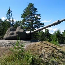
Hemsö Fortress
19.9 km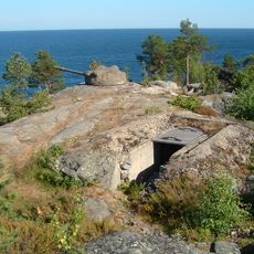
Hemsön
17.4 km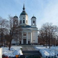
Härnösand Cathedral
27.8 km
Murberget Länsmuseet Västernorrland
26.6 km
Landsarkivet i Härnösand
27.7 km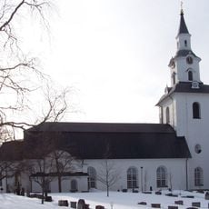
Säbrå
24 km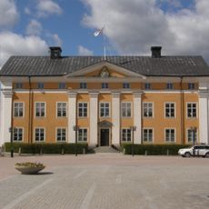
Länsresidenset Härnösand
27.8 km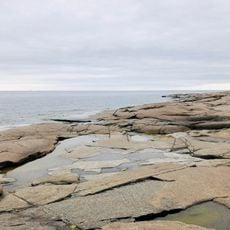
Rotsidan
15 km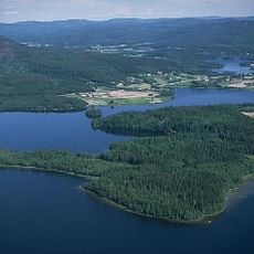
Gallsätter and Yttered
4.9 km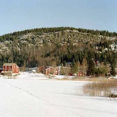
Häggvik
11.3 km
Sambiblioteket
27.8 km
Härnösands rådhus
27.7 km
Barsta kapell
15.8 km
Vårdkasberget
30 km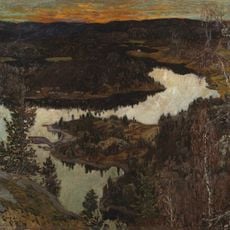
Rödklitten
9.3 km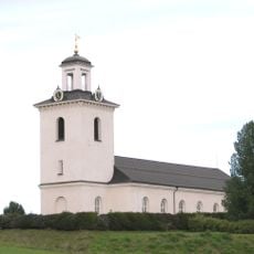
Nora-Skogs församling
8.2 km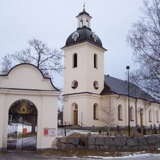
Högsjö new Church
13.1 km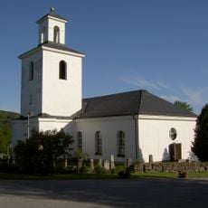
Nordingrå
27.5 km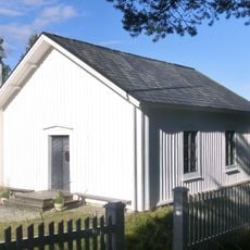
Bönhamns kapell
18.4 km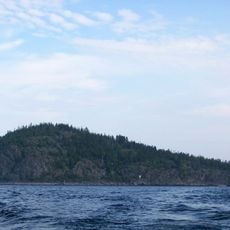
Högbonden
19.9 km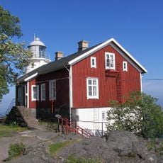
Högbonden lighthouse
20 km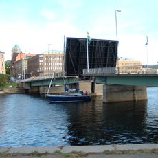
Nybron, Härnösand
27.6 km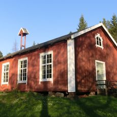
Berghamns kapell
10.4 km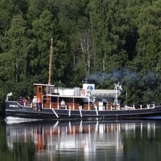
Dynäs II
9.7 km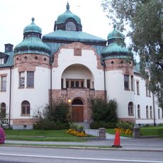
Ångermanlands södra domsagas tingslag
27.8 km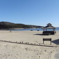
Smitingen-Härnöklubb
30.8 kmReviews
Visited this place? Tap the stars to rate it and share your experience / photos with the community! Try now! You can cancel it anytime.
Discover hidden gems everywhere you go!
From secret cafés to breathtaking viewpoints, skip the crowded tourist spots and find places that match your style. Our app makes it easy with voice search, smart filtering, route optimization, and insider tips from travelers worldwide. Download now for the complete mobile experience.

A unique approach to discovering new places❞
— Le Figaro
All the places worth exploring❞
— France Info
A tailor-made excursion in just a few clicks❞
— 20 Minutes