
Ore 232, ristning, medeltid/historisk tid i Dalarna
Location: Rättvik Municipality
GPS coordinates: 61.08836,15.08933
Latest update: April 14, 2025 01:14
Siljan Ring
10.6 km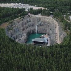
Dalhalla
15.6 km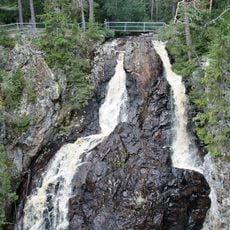
Styggforsen
10.6 km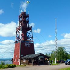
Vidablick
25 km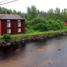
Furudals bruk
12.8 km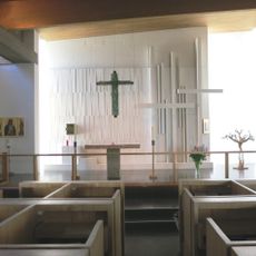
Berget
21.1 km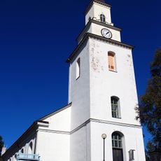
Boda Church
10.7 km
Hotell Persborg
21.3 km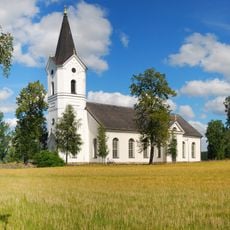
Ore Church
7.1 km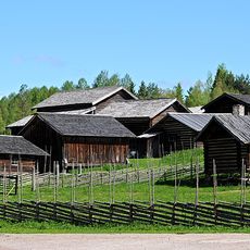
Norrboda gammelstad
9.3 km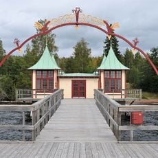
Persborgs brygga
21.5 km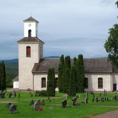
Skattunge Church
17.4 km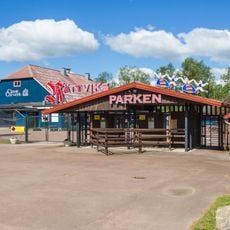
Rättviksparken
22.2 km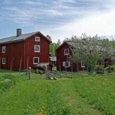
Matsgården
14 km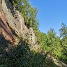
Amtjärnsbrottet
16.9 km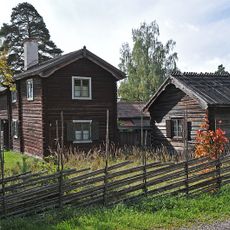
Rättviks gammelgård
21.6 km
Enån
20 km
Paviljongen Hvilan
23.2 km
Orsa tingslag
24.8 km
Lindängets naturreservat
25.4 km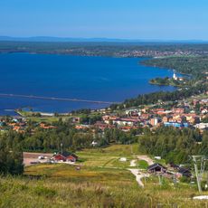
Dalen-Hökolsberget
24.4 km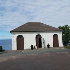
Siljanskapellet
22 km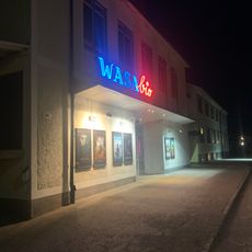
Wasa Bio
22.7 km
Enhetens kapell, Rättvik
21.7 km
Orsa Jernvägsförening
25.5 km
Kullsbergs kalkbruksutställning i Dalhalla
15.5 km
Tånggården
20.9 km
Norskt veteranmuseum
12.7 kmReviews
Visited this place? Tap the stars to rate it and share your experience / photos with the community! Try now! You can cancel it anytime.
Discover hidden gems everywhere you go!
From secret cafés to breathtaking viewpoints, skip the crowded tourist spots and find places that match your style. Our app makes it easy with voice search, smart filtering, route optimization, and insider tips from travelers worldwide. Download now for the complete mobile experience.

A unique approach to discovering new places❞
— Le Figaro
All the places worth exploring❞
— France Info
A tailor-made excursion in just a few clicks❞
— 20 Minutes