
Harmånger 134:1, Hügelgrab in Schweden
Location: Nordanstig Municipality
GPS coordinates: 61.90442,17.05432
Latest update: May 28, 2025 19:30
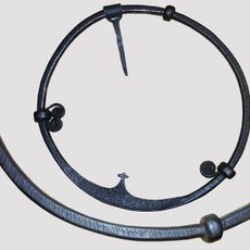
Forsaringen
19.9 km
Bromangymnasiet
18.2 km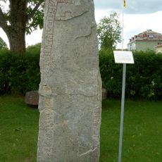
Hälsingland Rune Inscription 21
13.2 km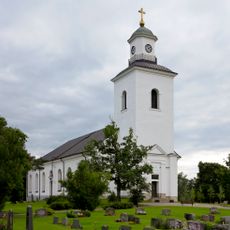
Bergsjö parish
15.2 km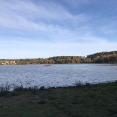
Lillfjärden
19.3 km
Hälsingland Museum
19.8 km
Harmångers kyrka
9.1 km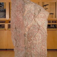
Malsta stone in Hälsingland
13.1 km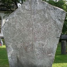
Hälsinglands runinskrifter 10
16.8 km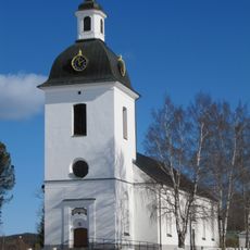
Gnarps kyrka
19 km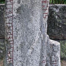
Hälsinglands runinskrifter 11
15.4 km
Rogsta Church
17.1 km
Murbergskyrkan
12.1 km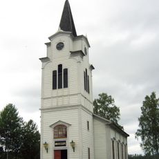
Strömbacka kapell
18.6 km
Hudiksvalls, Forsa och Bergsjö tingslag
19.8 km
Hornån
19.9 km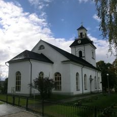
Ilsbo Church
5.3 km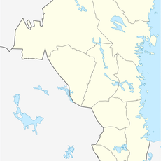
Hålsjöholmen
18.2 km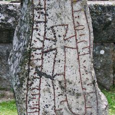
Hälsinglands runinskrifter 12
15.4 km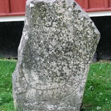
Hälsinglands runinskrifter 9
16.7 km
Strömbacka smedja
18.6 km
Bergsjö tingslag
8.5 km
Svensgård
13.9 km
Oppegården
14.3 km
Hög 48:3
15.4 km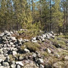
Rogsta 51:1
16.9 km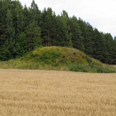
Hög 50:1
15.5 km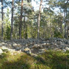
Harmånger 77:1
14.6 kmReviews
Visited this place? Tap the stars to rate it and share your experience / photos with the community! Try now! You can cancel it anytime.
Discover hidden gems everywhere you go!
From secret cafés to breathtaking viewpoints, skip the crowded tourist spots and find places that match your style. Our app makes it easy with voice search, smart filtering, route optimization, and insider tips from travelers worldwide. Download now for the complete mobile experience.

A unique approach to discovering new places❞
— Le Figaro
All the places worth exploring❞
— France Info
A tailor-made excursion in just a few clicks❞
— 20 Minutes