
Segersta 11:1, grave field in Hälsingland, Sweden
Location: Bollnäs Municipality
GPS coordinates: 61.25867,16.64391
Latest update: April 8, 2025 05:31

Erik-Anders
18.8 km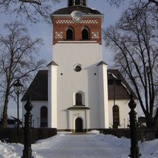
Bollnäs Church
16.6 km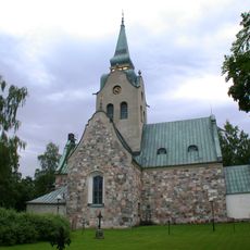
Söderala church
16.9 km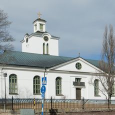
Rengsjö Church
11.8 km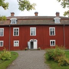
Renshammar
15.9 km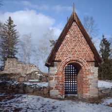
Skogs gamla kyrka, Hälsingland
13.4 km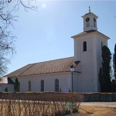
Segersta Church
1.1 km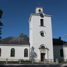
Skogs kyrka, Hälsingland
14.1 km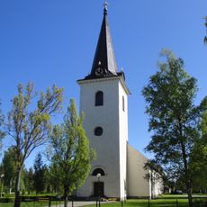
Mo
9.5 km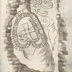
Hälsinglands runinskrifter 2
21.5 km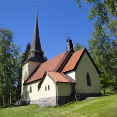
Bergvik Church
9.4 km
Växbo kvarn
17 km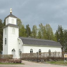
Hällbo kapell
12.7 km
Hanebo kommun
5.4 km
Sankt Lars kapell, Bollnäs
17.9 km
Sävtorpet
8.6 km
Bollnäs domsagas tingslag
16.9 km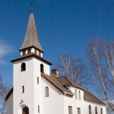
Växbo kapell
17.3 km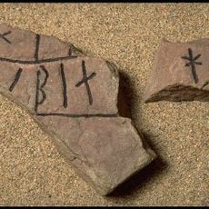
Hs 1
16.7 km
Västansjö ullspinneri
12.5 km
Lottefors kapell
21.4 km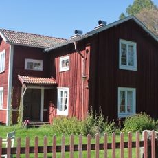
Styfstorpet
12.5 km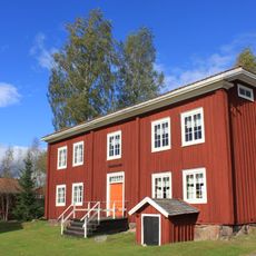
Rehnstedts
15 km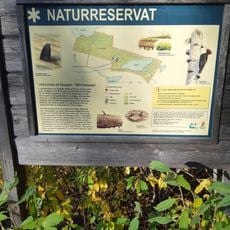
Djupsjön-Römmaberget
17 km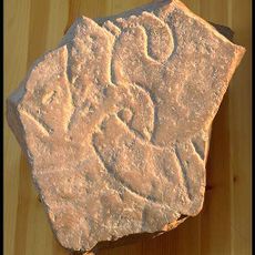
Hälsinglands runinskrifter 3
21.5 km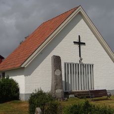
Rengsjö gravkapell
11.7 km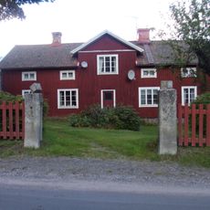
Västergården i Asta
18.8 km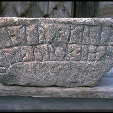
Hs 18
16.7 kmReviews
Visited this place? Tap the stars to rate it and share your experience / photos with the community! Try now! You can cancel it anytime.
Discover hidden gems everywhere you go!
From secret cafés to breathtaking viewpoints, skip the crowded tourist spots and find places that match your style. Our app makes it easy with voice search, smart filtering, route optimization, and insider tips from travelers worldwide. Download now for the complete mobile experience.

A unique approach to discovering new places❞
— Le Figaro
All the places worth exploring❞
— France Info
A tailor-made excursion in just a few clicks❞
— 20 Minutes