Storsjö 148:1, husgrund, förhistorisk/medeltida i Härjedalen
Location: Berg Municipality
GPS coordinates: 62.96903,12.76565
Latest update: November 15, 2025 13:50
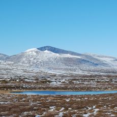
Helagsfjället
17.4 km
Helags glacier
17.2 km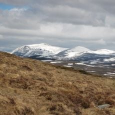
Härjångsfjället
10.5 km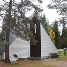
Ljungdalens kapell
12.7 km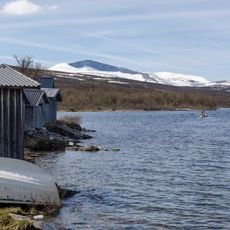
Kesusjön
9 km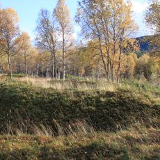
Storsjö 74:1
13.3 km
Nedre Skärvagen
17.1 km
Skärvagsdalen
18.1 km
Struopetjarve
11 km
Allaksklumpen
17.6 km
Rensnävet
17.6 km
Tvärhammarn
6.4 km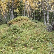
Storsjö 51:2
16.4 km
Luspentjarve
5.2 km
Storsjö 77:1
13.5 km
Storsjö 75:2
12.7 km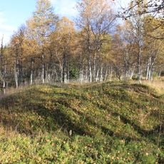
Storsjö 74:2
13.3 km
Undersåker 249:3
3.4 km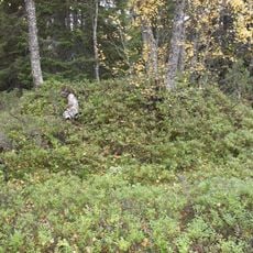
Storsjö 51:1
16.4 km
Undersåker 249:2
3.4 km
Storsjö 92:1
13.2 km
Storsjö 75:1
12.7 km
Undersåker 249:1
3.4 km
Storsjö 72:1
11 km
Dunsjöliften
12.7 km
Scenic viewpoint
17.2 km
Vålåfallet
17.1 km
Silverfallet
16.3 kmReviews
Visited this place? Tap the stars to rate it and share your experience / photos with the community! Try now! You can cancel it anytime.
Discover hidden gems everywhere you go!
From secret cafés to breathtaking viewpoints, skip the crowded tourist spots and find places that match your style. Our app makes it easy with voice search, smart filtering, route optimization, and insider tips from travelers worldwide. Download now for the complete mobile experience.

A unique approach to discovering new places❞
— Le Figaro
All the places worth exploring❞
— France Info
A tailor-made excursion in just a few clicks❞
— 20 Minutes