Helagsfjället, Mountain summit in Härjedalen, Sweden
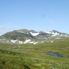
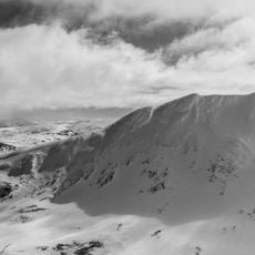
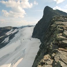
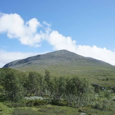
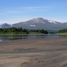
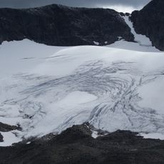
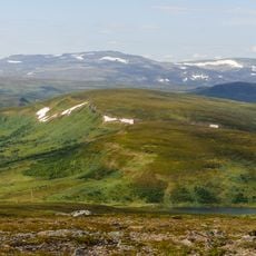
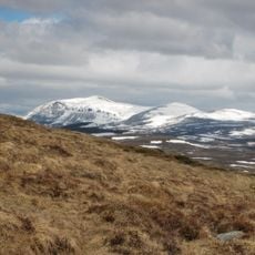
Helagsfjället, called Maajåelkie in South Sámi, is a mountain in Härjedalen, Berg Municipality, rising 1,797 metres above sea level. It stands 700 metres above the high plateau, with the 1,682-metre Predikstolen peak on its south-west side. On its steepest eastern flank lies Helagsglaciären, a 600-metre niche glacier formed from a permanent snow patch in a hollow.
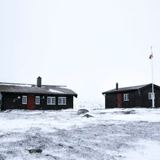
The first documented ascent of Helags was made in 1868 by the geologist Edvard Erdmann together with two local men from Ljungdalen. The mountain lies in roadless country about twenty kilometres northwest of Ljungdalen, and the Swedish Tourist Association's Helags mountain station stands at its foot.
The mountain has two names: Helagsfjället in Swedish and Maajåelkie in Sámi language, reflecting the dual cultural heritage of this landscape. The Sámi people have long used this region as part of their traditional territory.
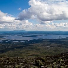
Helagsfjället lies in roadless country about 20 km northwest of Ljungdalen, so the summit is reached on foot; the Swedish Tourist Association's Helags mountain station stands at the foot of the mountain. The first documented ascent was made in 1868 by geologist Edvard Erdmann with two local men from Ljungdalen. The mountain rises about 700 m above the high plateau, and the glacier lies on the steepest, eastern side.
Helagsglaciären, on the mountain's steepest eastern flank, is a niche glacier about 600 metres long with an estimated maximum thickness of 50 metres, formed from a permanent snow patch in a hollow. It is the southernmost glacier in Sweden.
The community of curious travelers
AroundUs brings together thousands of curated places, local tips, and hidden gems, enriched daily by 94,165 contributors worldwide.