
Lockne 36:2, Hügelgrab in Schweden
Location: Östersund Municipality
GPS coordinates: 63.03462,14.78949
Latest update: March 5, 2025 19:21
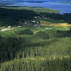
Locknesjön
6.8 km
Grytans skjutfält
8.9 km
Optand Teknikland
10.2 km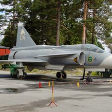
Jämtlands flyg- och lottamuseum
11 km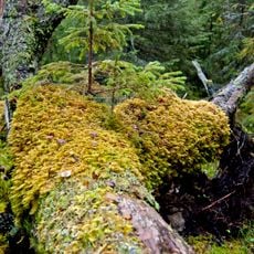
Berge Virgin Forest Nature Reserve
11.5 km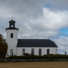
Näs kyrka, Jämtland
12.8 km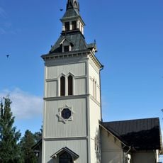
Marieby Church
8.9 km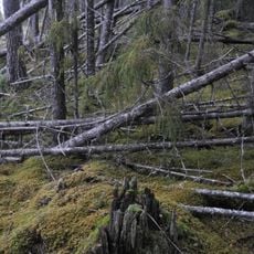
Gäle Virgin Forest Nature Reserve
12.5 km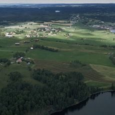
Näs
12.7 km
Slåtthornet
6.2 km
Bjännmyren
2.3 km
Nordanbergsberget
1.7 km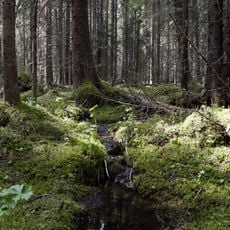
Bye kalkbarrskog
7.9 km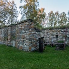
Marieby 2:1
7.3 km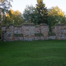
Marieby 2:2
7.3 km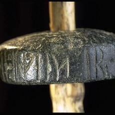
Spindle whorl
6.5 km
Ängsmokyrkan
12.3 km
Brunflo lantbruksmuseum
6.7 km
Brunflo skolmuseum
6.7 km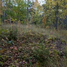
Jättehögar
10 km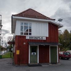
Järnvägsmuseiföreningen Jämtland
5.1 km
Brunflo 122:1
6.7 km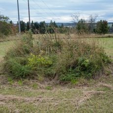
Brunflo 58:2
6.2 km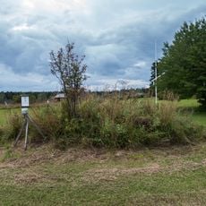
Brunflo 58:1
6.3 km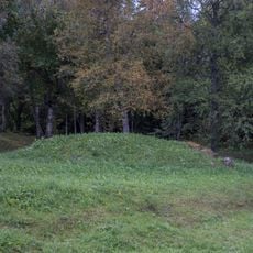
Jungfrukullen
6.8 km
Böröns kyrkbåthus
10.8 km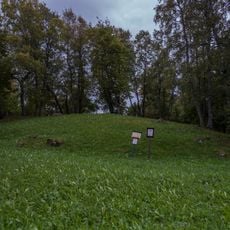
Jungfrukullen
6.8 km
Gusta stenmuseum i Brunflo
6.2 kmReviews
Visited this place? Tap the stars to rate it and share your experience / photos with the community! Try now! You can cancel it anytime.
Discover hidden gems everywhere you go!
From secret cafés to breathtaking viewpoints, skip the crowded tourist spots and find places that match your style. Our app makes it easy with voice search, smart filtering, route optimization, and insider tips from travelers worldwide. Download now for the complete mobile experience.

A unique approach to discovering new places❞
— Le Figaro
All the places worth exploring❞
— France Info
A tailor-made excursion in just a few clicks❞
— 20 Minutes