
Marbäck 77:1, stone setting in Aneby Municipality, Jönköping County, Sweden
Location: Aneby Municipality
GPS coordinates: 57.85750,14.82418
Latest update: September 2, 2025 12:01
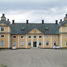
Gripenberg Castle
16.2 km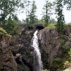
Stalpet
848 m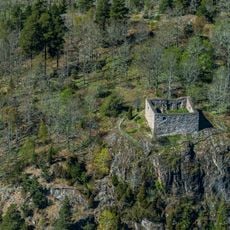
Brahälla
16.1 km
Norra Solberga Church
15.2 km
Askeryd
11.3 km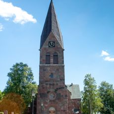
Lommaryd Church
5.4 km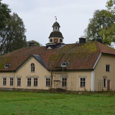
Göberga
17.1 km
Knutstorp
11.1 km
Askeryds kyrka
11.5 km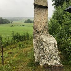
Bredestad 10:1
4.2 km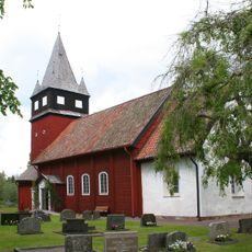
Haurida Church
18.2 km
Järsnäs Church
18 km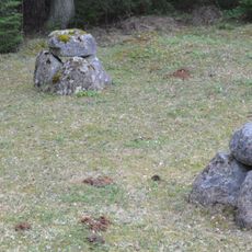
Gräberfeld von Fagertofta
19.2 km
Marbäck Church
1.9 km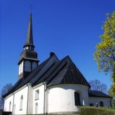
Bredestad Church
4.9 km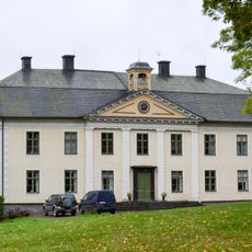
Degla manor
10.2 km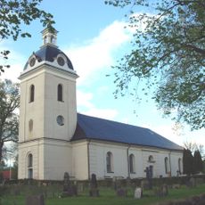
Linderås Church
13.2 km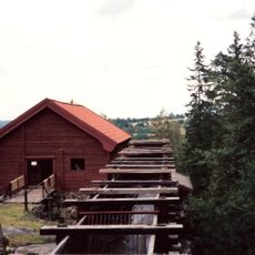
Råås kvarn
19.6 km
Smålands runinskrifter 128
17.1 km
Åsens utmark
18.7 km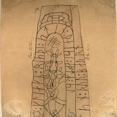
Sm 133, Sunneränga
8.3 km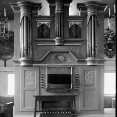
Askeryds kyrkas orgel by Jonas Wistenius
11.5 km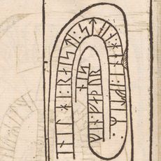
Sm 132, Rickelstorp
12.8 km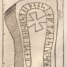
Östergötlands runinskrifter 215
16.6 km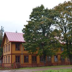
Idelunds möbelfabrik
4.9 km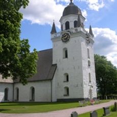
Säby kyrka
15.9 km
Lommaryd 30:1
8.8 km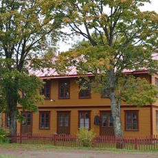
Idelunds möbelfabrik
4.8 kmReviews
Visited this place? Tap the stars to rate it and share your experience / photos with the community! Try now! You can cancel it anytime.
Discover hidden gems everywhere you go!
From secret cafés to breathtaking viewpoints, skip the crowded tourist spots and find places that match your style. Our app makes it easy with voice search, smart filtering, route optimization, and insider tips from travelers worldwide. Download now for the complete mobile experience.

A unique approach to discovering new places❞
— Le Figaro
All the places worth exploring❞
— France Info
A tailor-made excursion in just a few clicks❞
— 20 Minutes