
Kall 673, Friedhof in Schweden
Location: Åre Municipality
GPS coordinates: 63.73591,13.42864
Latest update: September 25, 2025 16:55

Åreskutan
37.8 km
Åre Bergbana
41.2 km
Kallsjön
30 km
Fröå gruva
38.5 km
Suljätten
21.4 km
Åresjön
43.1 km
Mjölkvattnet
18.4 km
Anjan
44.8 km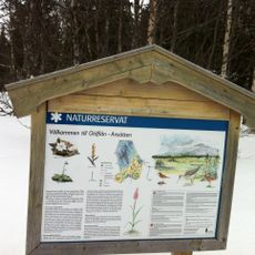
Oldflån-Ansätten Nature Reserve
23.2 km
Hällberget
41.2 km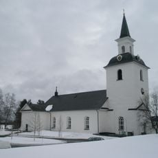
Offerdals kyrka
41.7 km
Undersåkers kyrka
45.5 km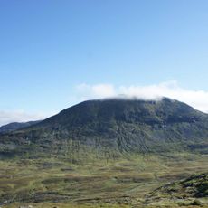
Skäckerfjällen Nature Reserve
37.8 km
Offerdals rural municipality
41.6 km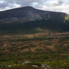
Grubbdalen
36.2 km
Häggsjövik
42.9 km
Svenskådalen Nature Reserve
26.4 km
Hällsjön
38.6 km
Oldsjön
6.9 km
Kolåsens lappkapell
22.8 km
Himmelsraften
16.4 km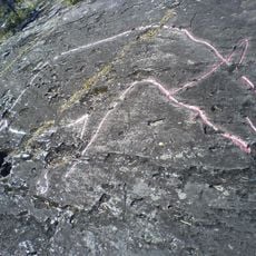
Petroglyphs of Gärde
26.2 km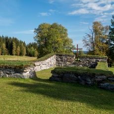
Undersåker 51:1
45.3 km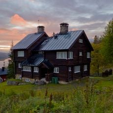
Läkarvillan
40.9 km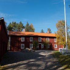
Tossögården
43.9 km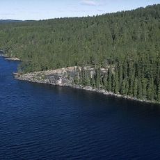
Föllinge 346:1
46.7 km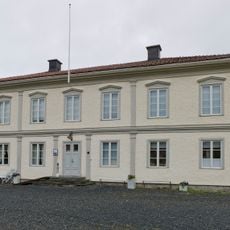
Huså herrgård
31.1 km
Mårtenvillan
41.1 kmReviews
Visited this place? Tap the stars to rate it and share your experience / photos with the community! Try now! You can cancel it anytime.
Discover hidden gems everywhere you go!
From secret cafés to breathtaking viewpoints, skip the crowded tourist spots and find places that match your style. Our app makes it easy with voice search, smart filtering, route optimization, and insider tips from travelers worldwide. Download now for the complete mobile experience.

A unique approach to discovering new places❞
— Le Figaro
All the places worth exploring❞
— France Info
A tailor-made excursion in just a few clicks❞
— 20 Minutes