
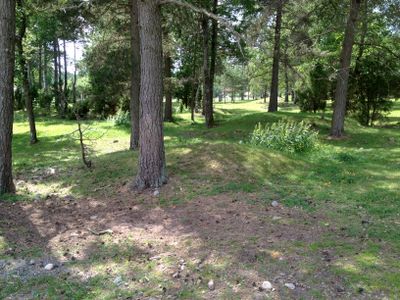
Västra Ed 132:1, grave field in Småland, Sweden
Location: Västervik Municipality
GPS coordinates: 58.01006,16.57436
Latest update: March 15, 2025 05:51
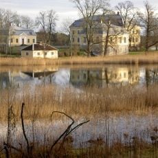
Fågelvik Manor
14.7 km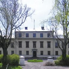
Casimirsborg
16.9 km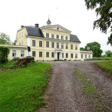
Stensnäs herrgård
14 km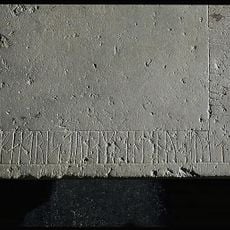
Smålands runinskrifter 145
15.3 km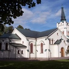
Västra Eds kyrka
5.8 km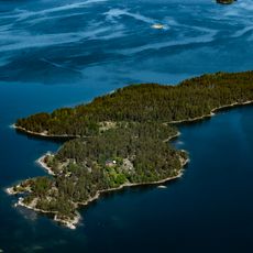
Ljusterö
19.7 km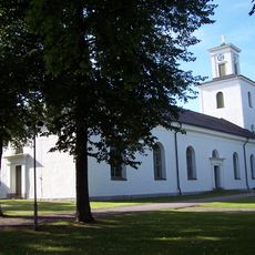
Gamleby Church
16.4 km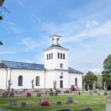
Ukna Church
15.2 km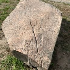
Helleröstenen
5.5 km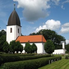
Church of Östra Ed
6 km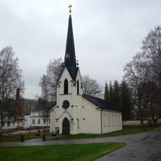
Överums kyrka
15.3 km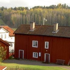
Västertryserum
15.3 km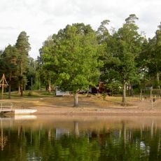
Hammarsbadet, public beach
16.9 km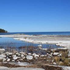
Kvädöfjärden
14.7 km
Ormö
15.2 km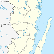
Vinö kalv
15.6 km
Tjusts domsagas tingslag
16.3 km
Segersgärde
18.6 km
Rågö
18.1 km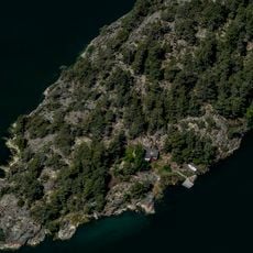
Bergholmen
14.1 km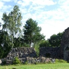
Tryserums kyrkoruin
17.4 km
Se kommentar.
16.5 km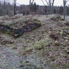
Fågelvik
13.3 km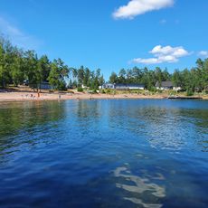
Public beach Tättö
15.4 km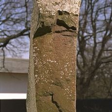
Smålands runinskrifter 144
15 km
Ukna 135:1
15.3 km
Västra Ed 173:1
5.9 km
Sm 147, Västra Eds ödekyrka
5.9 kmReviews
Visited this place? Tap the stars to rate it and share your experience / photos with the community! Try now! You can cancel it anytime.
Discover hidden gems everywhere you go!
From secret cafés to breathtaking viewpoints, skip the crowded tourist spots and find places that match your style. Our app makes it easy with voice search, smart filtering, route optimization, and insider tips from travelers worldwide. Download now for the complete mobile experience.

A unique approach to discovering new places❞
— Le Figaro
All the places worth exploring❞
— France Info
A tailor-made excursion in just a few clicks❞
— 20 Minutes