
Arjeplog 406:1, röse i Lappland
Location: Arjeplog Municipality
GPS coordinates: 66.07950,18.22796
Latest update: August 21, 2025 15:06
Sorsele Municipality
76.5 km
Arjeplog Municipality
66.6 km
Arvidsjaur Municipality
65.4 km
Pieljekaise National Park
72.3 km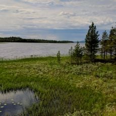
Storavan
21.8 km
Trollforsen
50.5 km
Silvermuseet
15.7 km
Karats
73.5 km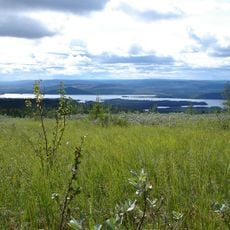
Nalovardo
54 km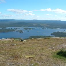
Galtispuoda
13.6 km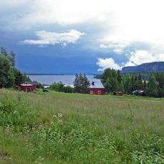
Storvindeln
64.2 km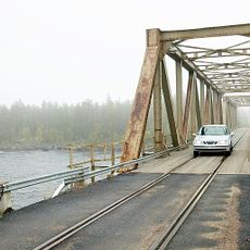
Pite River Bridge
52.2 km
Delliknäs
51.1 km
Brudslöjan
66.4 km
Rallarmuseet i Moskosel
58.6 km
Sorsele Church
68.1 km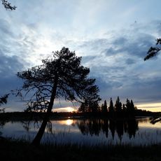
Reivo
49.9 km
Pärlälvens fjällurskog
75.6 km
Norra Bergnäs kapell
34.9 km
Gimegolts
59.5 km
Laisdalens fjällurskog
55.2 km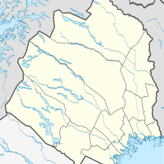
Vittjåkk-Akkanålke fjällurskog
70.2 km
Tjeggelvas
61.3 km
Hornavan-Sädvajaure fjällurskog
58 km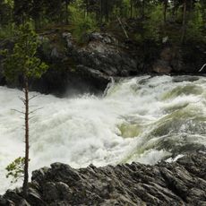
Märkberget
63.6 km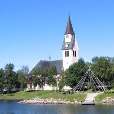
Arjeplogs kyrkobokföringsdistrikt
15.8 km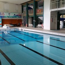
Centrumbadet
69.3 km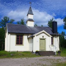
Jäkkviks kapell
65.9 kmReviews
Visited this place? Tap the stars to rate it and share your experience / photos with the community! Try now! You can cancel it anytime.
Discover hidden gems everywhere you go!
From secret cafés to breathtaking viewpoints, skip the crowded tourist spots and find places that match your style. Our app makes it easy with voice search, smart filtering, route optimization, and insider tips from travelers worldwide. Download now for the complete mobile experience.

A unique approach to discovering new places❞
— Le Figaro
All the places worth exploring❞
— France Info
A tailor-made excursion in just a few clicks❞
— 20 Minutes