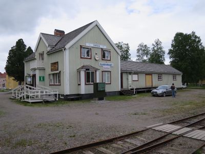
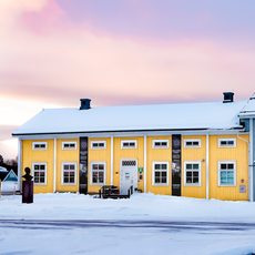
Sorsele Municipality, Municipal territory in Västerbotten County, northern Sweden
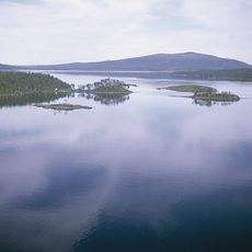
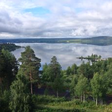
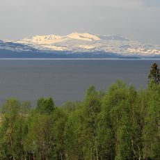
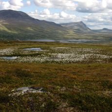
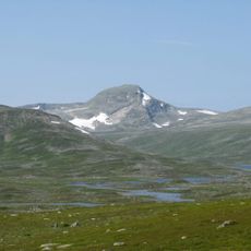
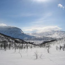
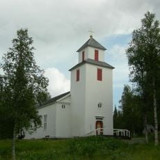
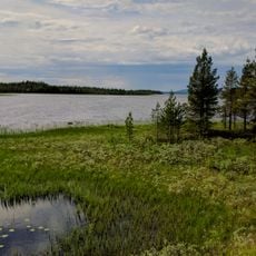
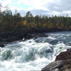
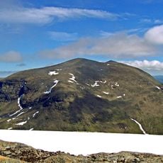
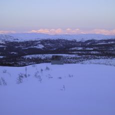
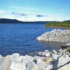
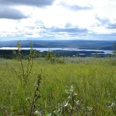
Sorsele Municipality is a territory in Västerbotten County, northern Sweden, spread across a large area within Swedish Lapland. The Vindel River flows through the land, and the terrain features forests, mountains, and natural landscapes at varying elevations.
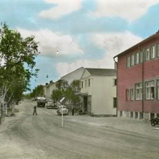
This territory has kept its large boundaries since 1863, when Sweden first introduced its municipal system in the north. This long continuity shows how the administrative shape of this region has remained stable through time.
The name comes from Sami origins, blending "sourge" meaning branch with Swedish "sel" referring to a stream type. This linguistic mix reflects how Sami and Swedish cultures have coexisted in this northern landscape.
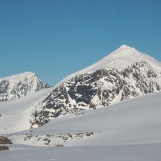
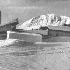
The area becomes especially interesting during cold months for visitors seeking winter experiences, as Mercedes-Benz runs driving courses on specialized snow and ice tracks here. The best time to visit depends on whether you prefer winter activities or hiking during warmer seasons.
More than half of the municipal land is covered by a large nature reserve called Vindelfjällens that preserves important wilderness. This protected area is known for its extreme temperature swings between seasons and greatly shapes the region's character.
The community of curious travelers
AroundUs brings together thousands of curated places, local tips, and hidden gems, enriched daily by 60,000 contributors worldwide.