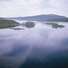
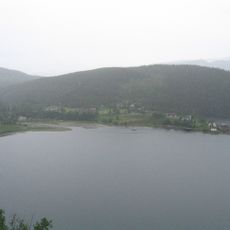
Røssvatnet, lake in Hattfjelldal and Hemnes, Nordland, Norway
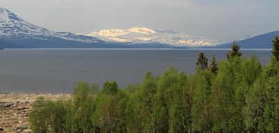
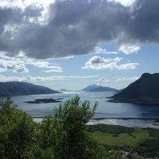
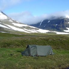
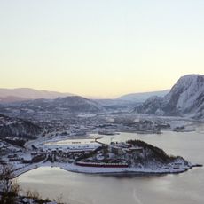
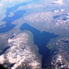
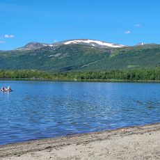
Røssvatnet is a large reservoir in northern Norway spanning Hattfjelldal and Hemnes municipalities, covering over 200 square kilometers with an irregular shoreline of rocky beaches and sparse forests. The water is clear and reflects the sky and surrounding hills, creating an open landscape with no major towns nearby.
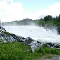
The lake was enlarged in 1957 when the water level was raised about 10 meters to enable hydroelectric power generation and support regional industries like ironworks and aluminum factories. This change connected the water system to neighboring areas and became crucial for energy production in the region.
The lake is known to the local Sami people as Reevhtse, reflecting their long presence in the region. Sami traditions and language remain closely tied to this landscape and its water resources.
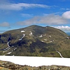
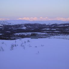
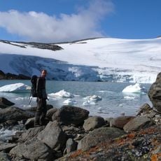
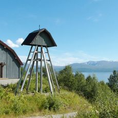
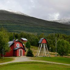
The lake has walking trails along the shore, with some leading to lookout points offering views of the entire water surface. Visitors should note the water stays cool year-round, and the region often gets snow in winter, making it suitable for snowshoeing or ice activities on calmer days.
The Nedre Røssåga hydropower plant, built in the 1950s, was modernized using tunnel boring machinery for the first time in many years in Norway to create new water channels. This approach protected the natural river flow and helped salmon migration, linking early engineering achievement with modern conservation.
The community of curious travelers
AroundUs brings together thousands of curated places, local tips, and hidden gems, enriched daily by 60,000 contributors worldwide.