Södra Sytertoppen

Log in to your account

AroundUs is a community-driven map of interesting places, built by curious explorers like you. It grows with every review, story, and photo you share.
Connect to save your favorite spots, contribute locations, and create personalized routes.
Continue with Google
Continue with Apple
Continue with X
Continue with Facebook
Continue with email
By continuing, you accept our Terms and Conditions and our Privacy Policy
Create an account

Södra Sytertoppen

Add to collection
Map
Suggest a change
Share

Södra Sytertoppen, Mountain summit in Västerbotten County, Sweden.

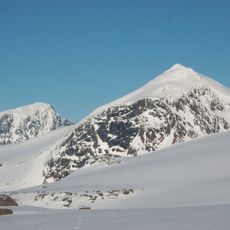
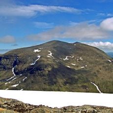
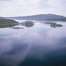
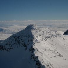
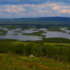
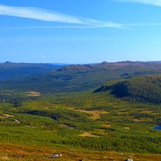
Södra Sytertoppen is a mountain in Västerbotten, Sweden, rising 1,693 meters above sea level with steep rocky slopes on its flanks. A distinctive stone cairn marks the summit at its highest point.

The mountain received its dual nomenclature from centuries of coexistence between Swedish settlers and the Sami people across Scandinavia. This linguistic layering reflects the long history of cultural interaction in these highlands.

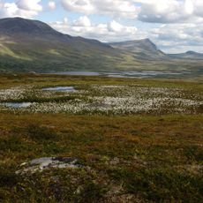
The mountain carries the Sami name Syjhterentjåhke, reflecting the enduring presence of reindeer herding traditions in this region. This cultural connection remains visible in how the landscape is understood and used by local communities today.

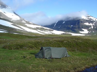
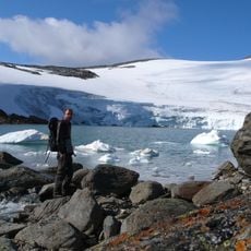
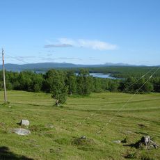
Reaching the summit requires good preparation as the route involves stream crossings and unmarked sections that demand careful route finding. Allow plenty of time for the round trip and come equipped for changing mountain weather conditions.

The mountain ranks as the second-highest peak in the Vindelfjällen area, with its northern neighbor Norra Sytertoppen lying just a few kilometers away. This proximity makes it possible for experienced hikers to tackle both summits in a single outing.

GPS coordinates: 65.86476,15.25840

Latest update: December 14, 2025 20:01

Photos
Reviews

Visited this place? Tap the stars to rate it and share your experience / photos with the community! Try now! You can cancel it anytime.

« Södra Sytertoppen - Mountain summit in Västerbotten County, Sweden » is provided by Around Us (aroundus.com). Images and texts are derived from Wikimedia project under a Creative Commons license. You are allowed to copy, distribute, and modify copies of this page, under the conditions set by the license, as long as this note is clearly visible.

Discover hidden gems everywhere you go!

From secret cafés to breathtaking viewpoints, skip the crowded tourist spots and find places that match your style. Our app makes it easy with voice search, smart filtering, route optimization, and insider tips from travelers worldwide. Download now for the complete mobile experience.

Around Us App Screenshot

A unique approach to discovering new places

Le Figaro

All the places worth exploring

France Info

A tailor-made excursion in just a few clicks

20 Minutes